Sunday, 14 June 2015

100 Cols Day 3 Hurecourt to Ste. Marie sur Ouche

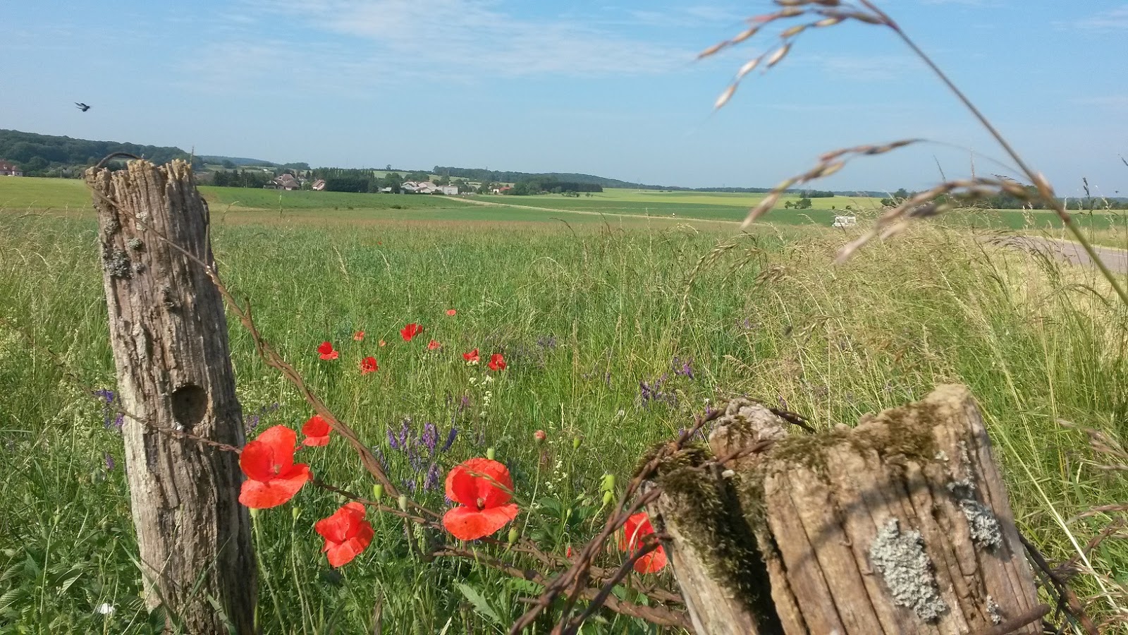
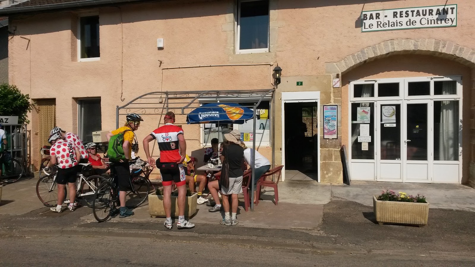
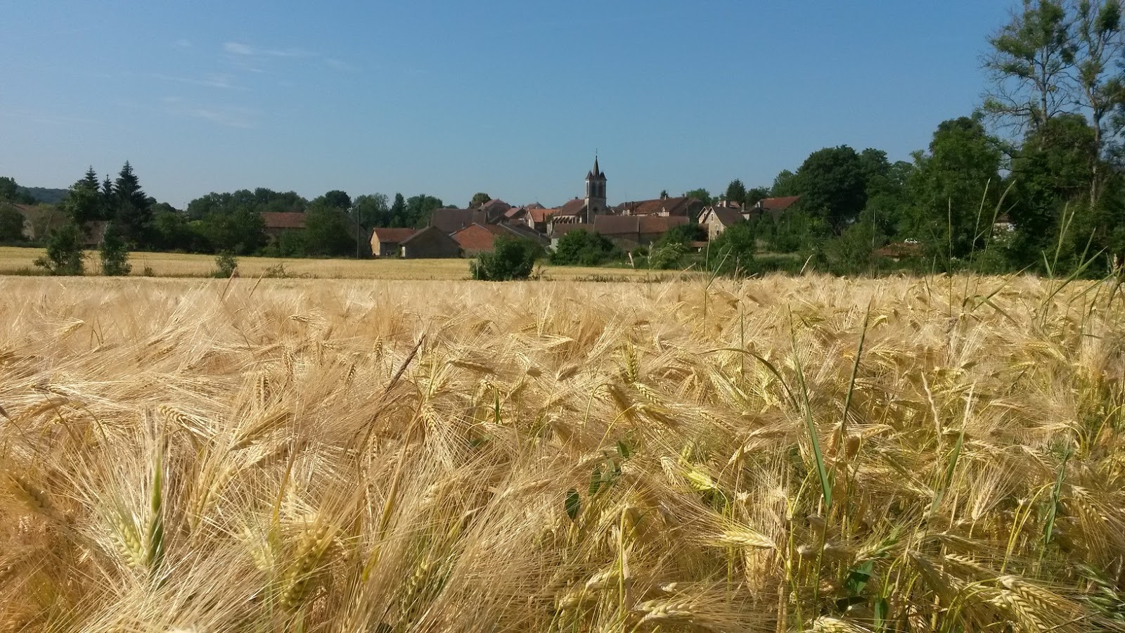
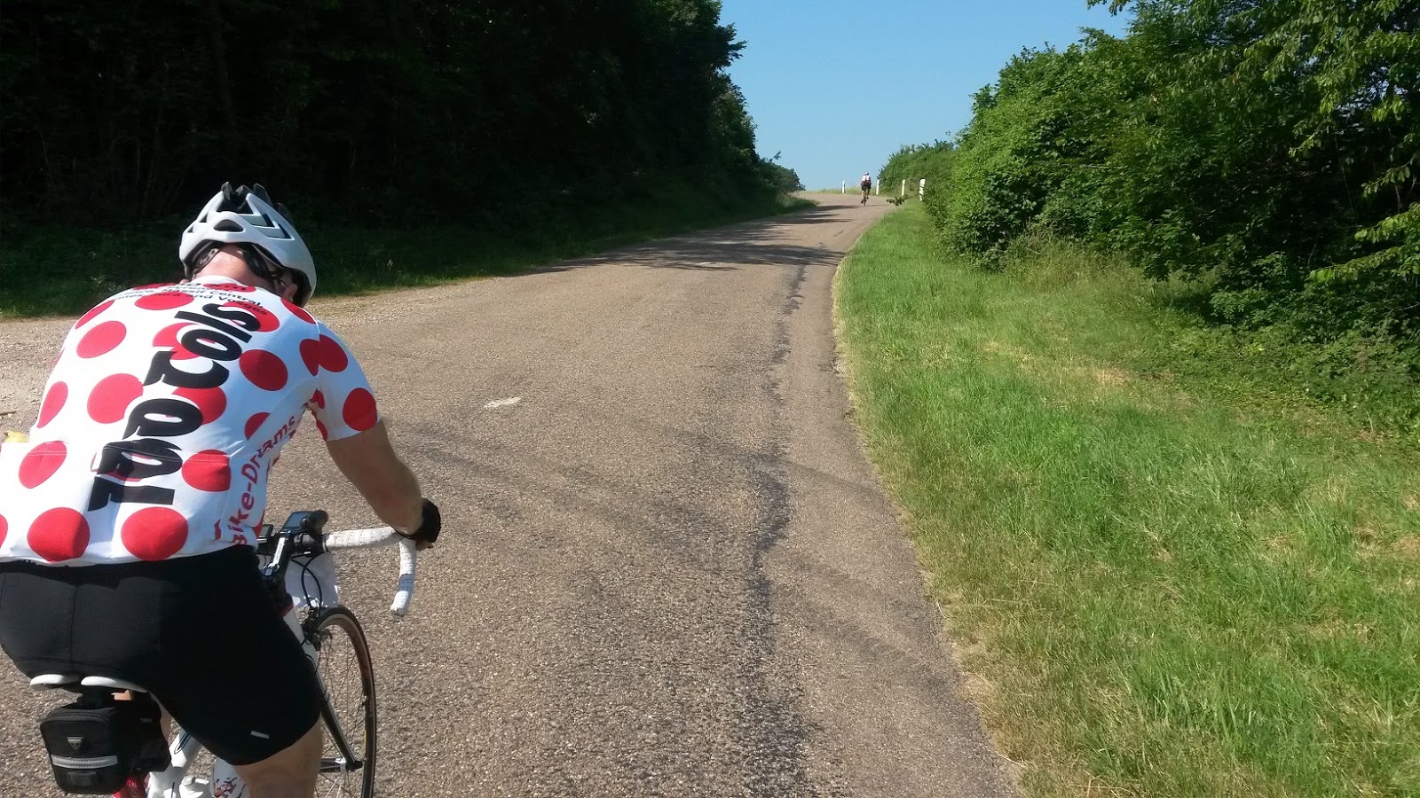
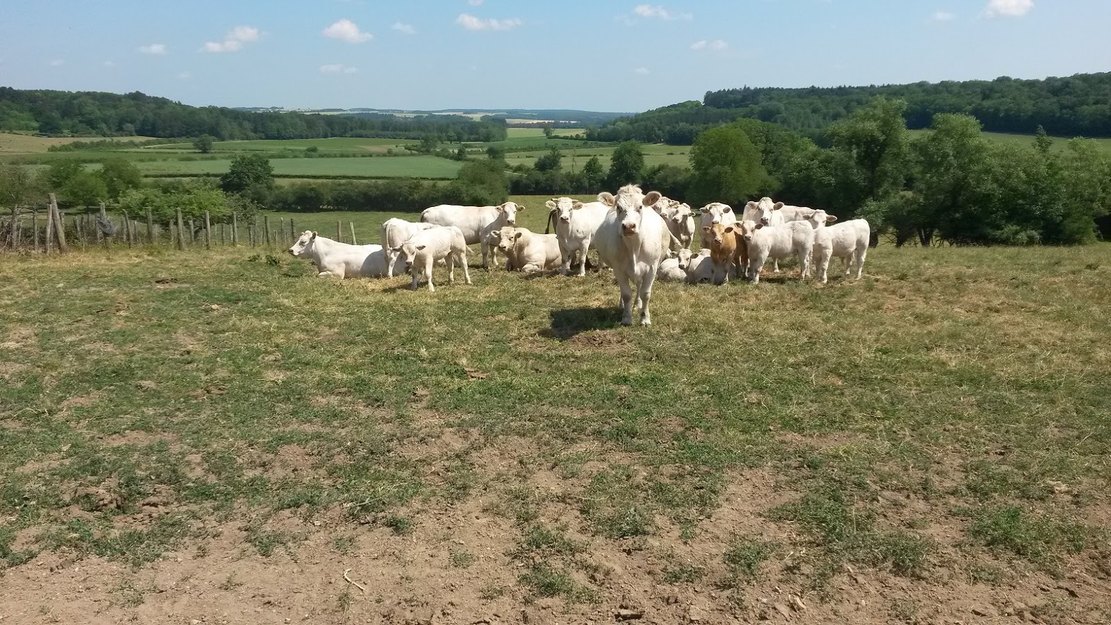
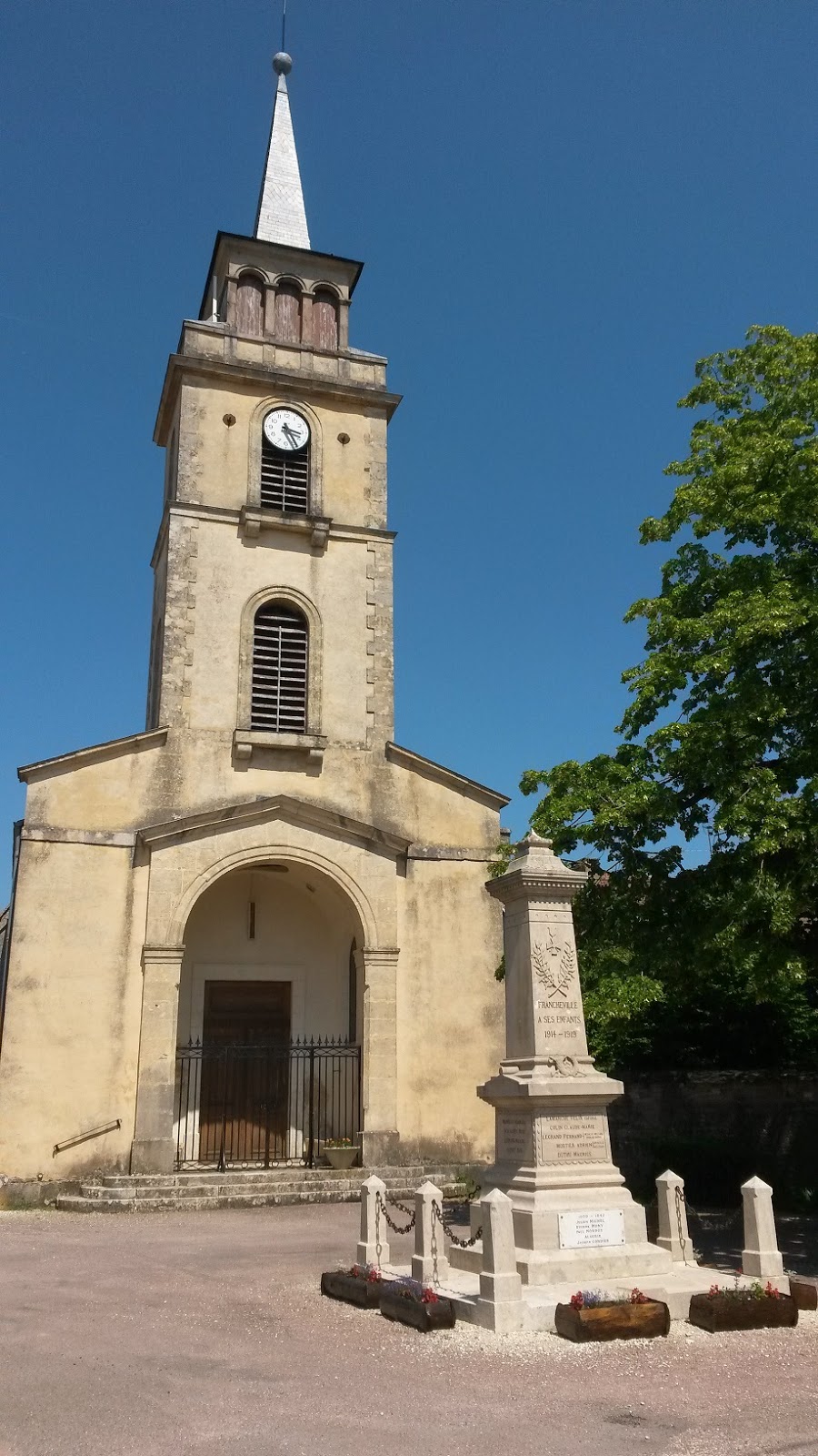
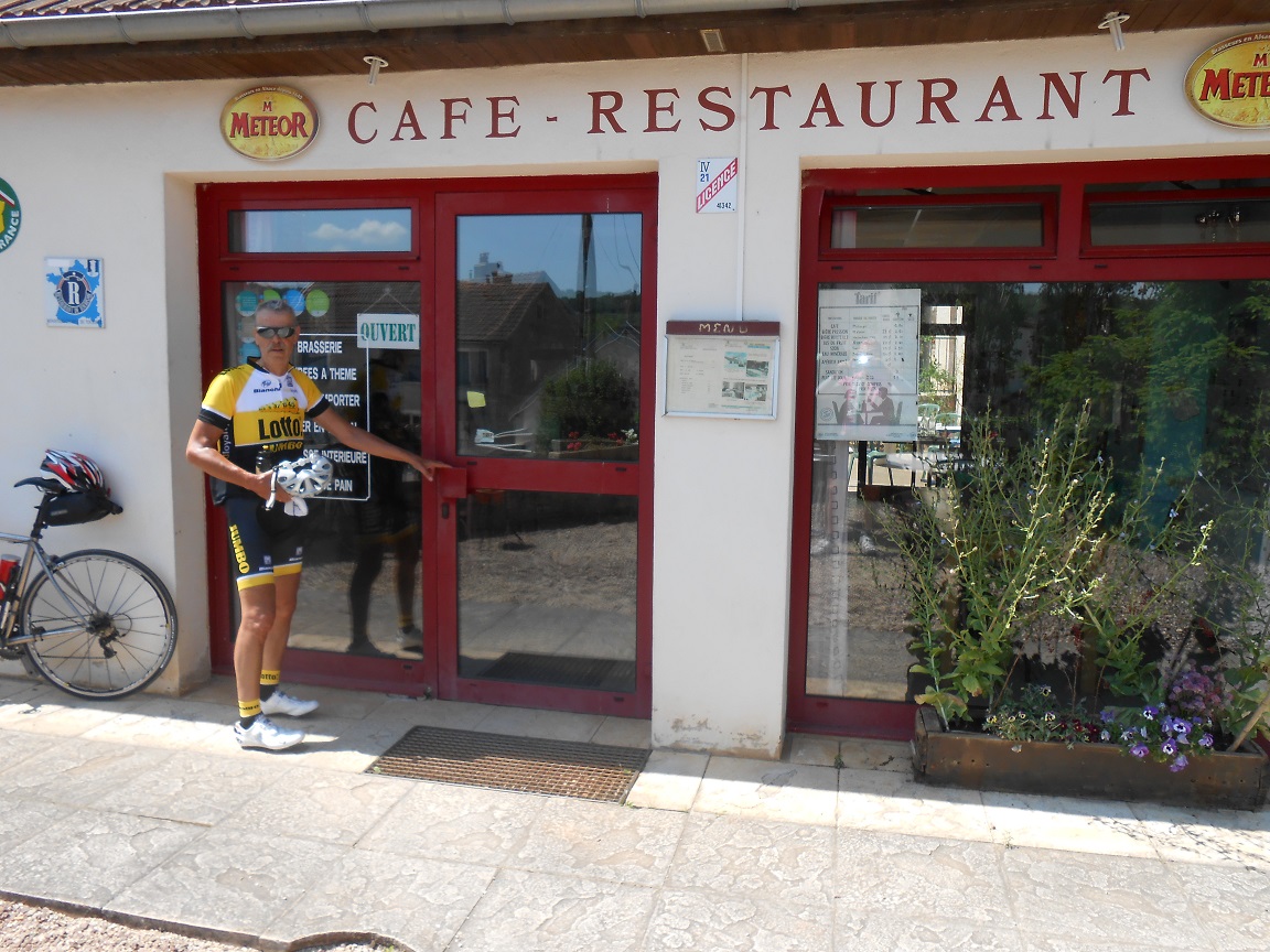
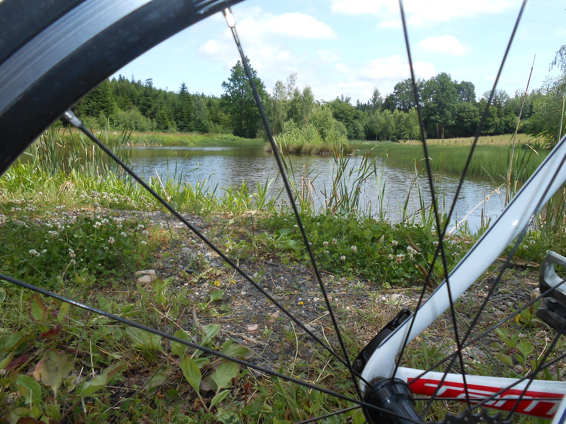
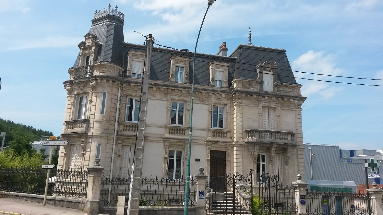
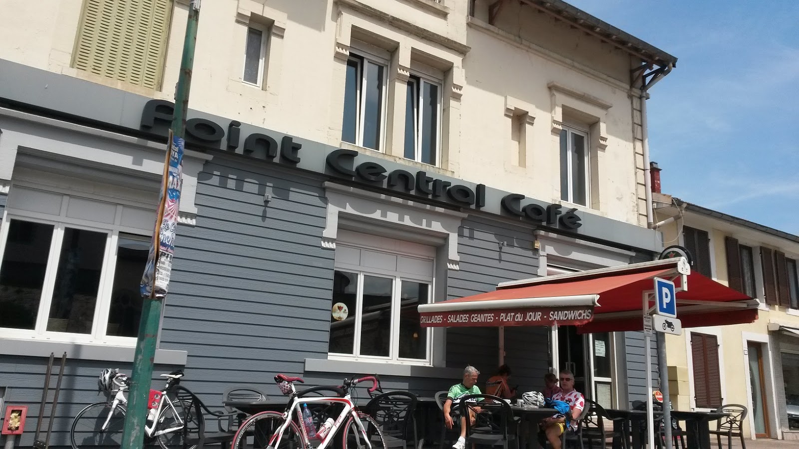
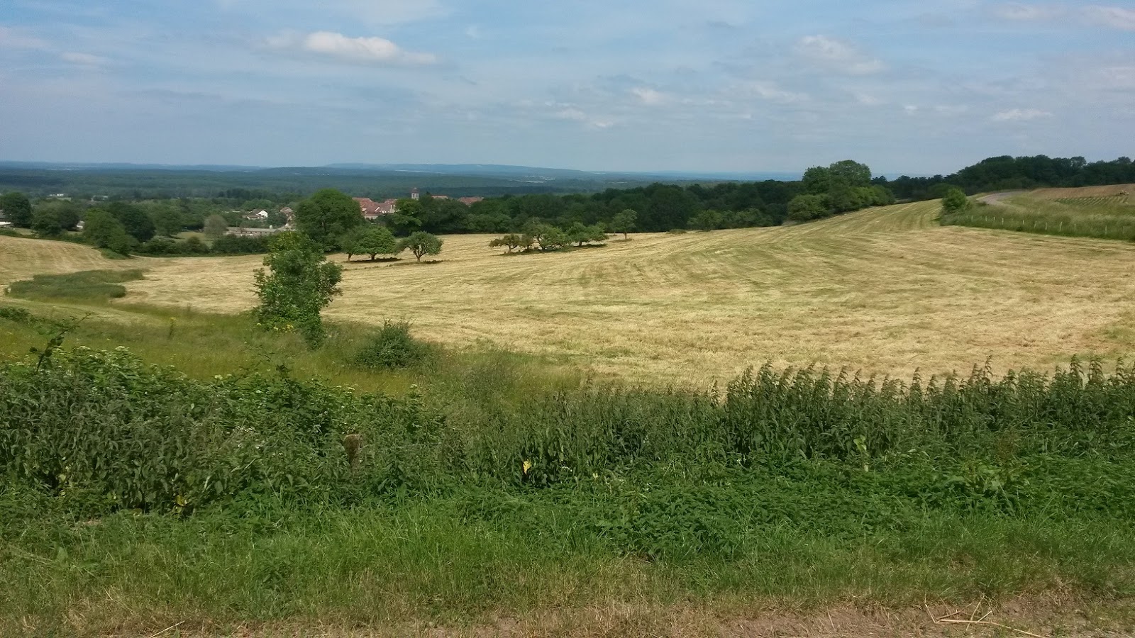
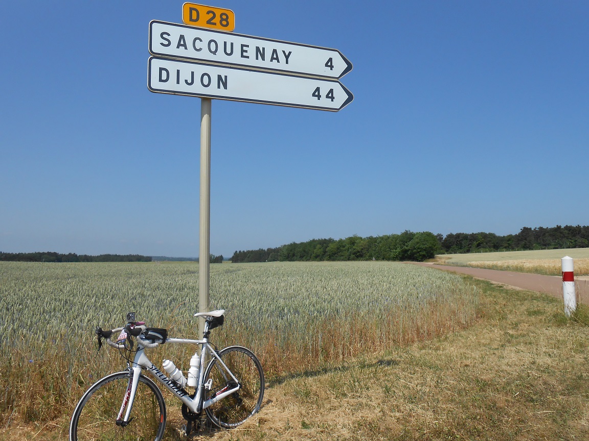
This was a delightful day to see the French countryside by bike. Wheatfields stretching as far as the eye could see and dense forests dotted in between. Weather as perfect and the sun shone for us all day. Indeed it was a tough day because of the temps over 30 deg C. The last climb proved a real test even though it wasn’t steep by comparison to some. At the top of this climb at about 4pm Franc, Marek, Aidan and I enjoyed a coffee/coke stop at Francheville. There was still some sections of climbing to come, however the coffee stop was just enough to get us home.
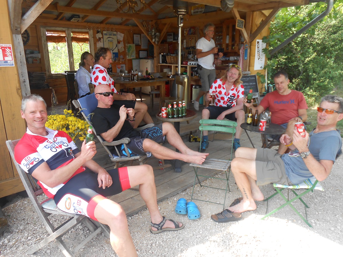
Tim, Margie and the girls drove their hire car towards Dijon in search of cold beer supplies. Unfortunately the beers came back warm and no ice could be purchased locally to chill them. As a measure of how thirsty some of our riders were, a few dozen warm beers were drunk.
A great dinner included Targine (sausage and cuscus). The evening was cool but dry and we were able to get a good night’s sleep. Garmin Connect link here for maps of route.
Hurecourt Cycling by peterjkemp at Garmin Connect - Details
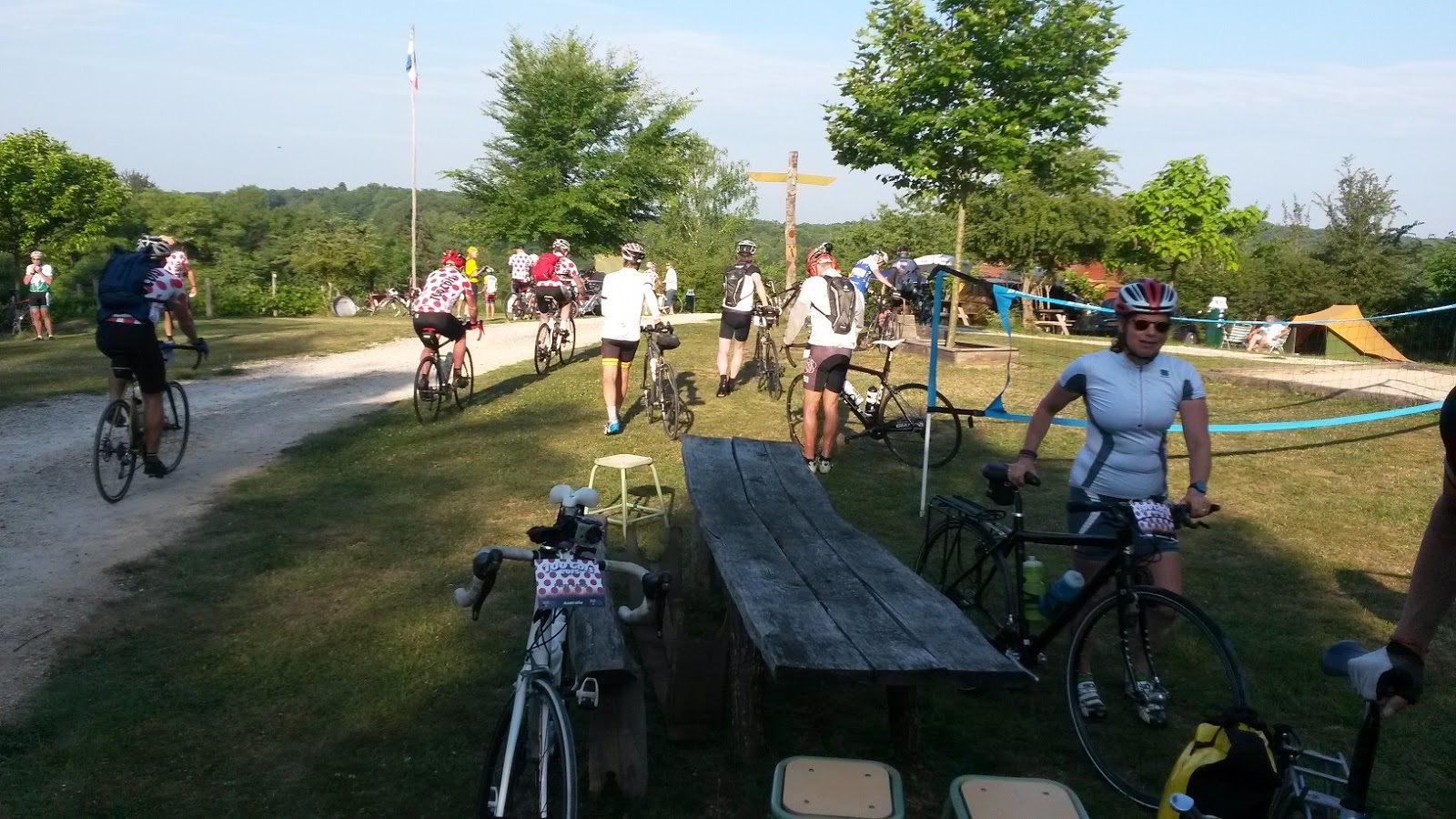
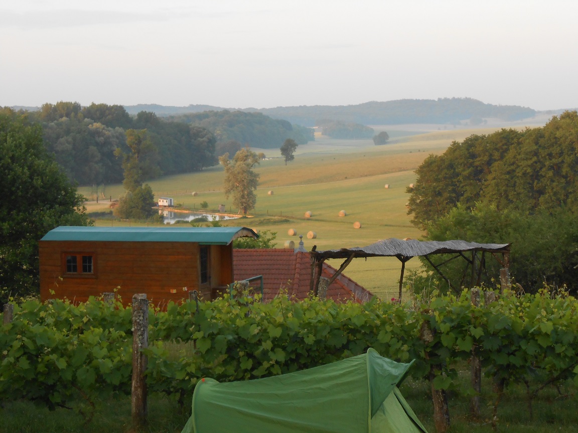
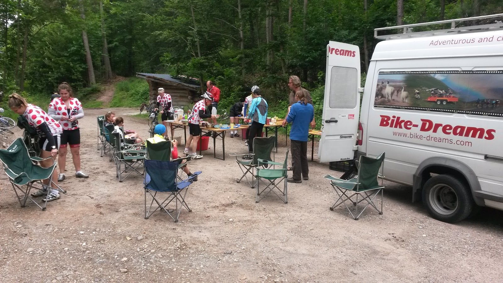
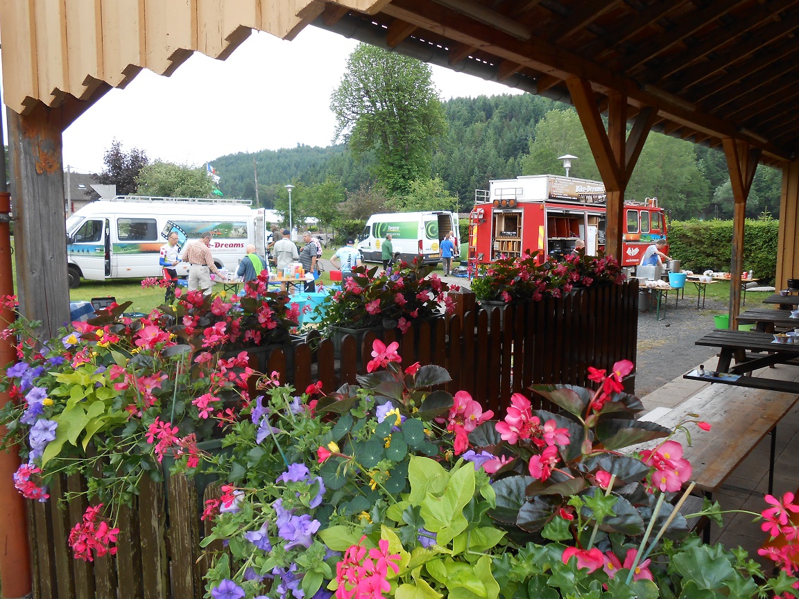
campsite at Hurecourt
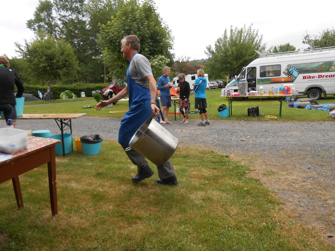
early morning at campsite
near Hurecourt
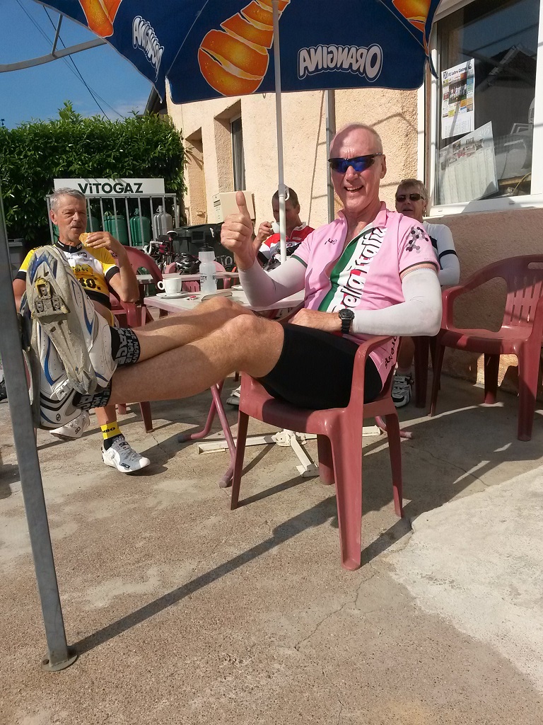
coffee stop Cintrey
coffee stop Cintrey
wheatfields
Mark hammers up a hill
near lunchstop

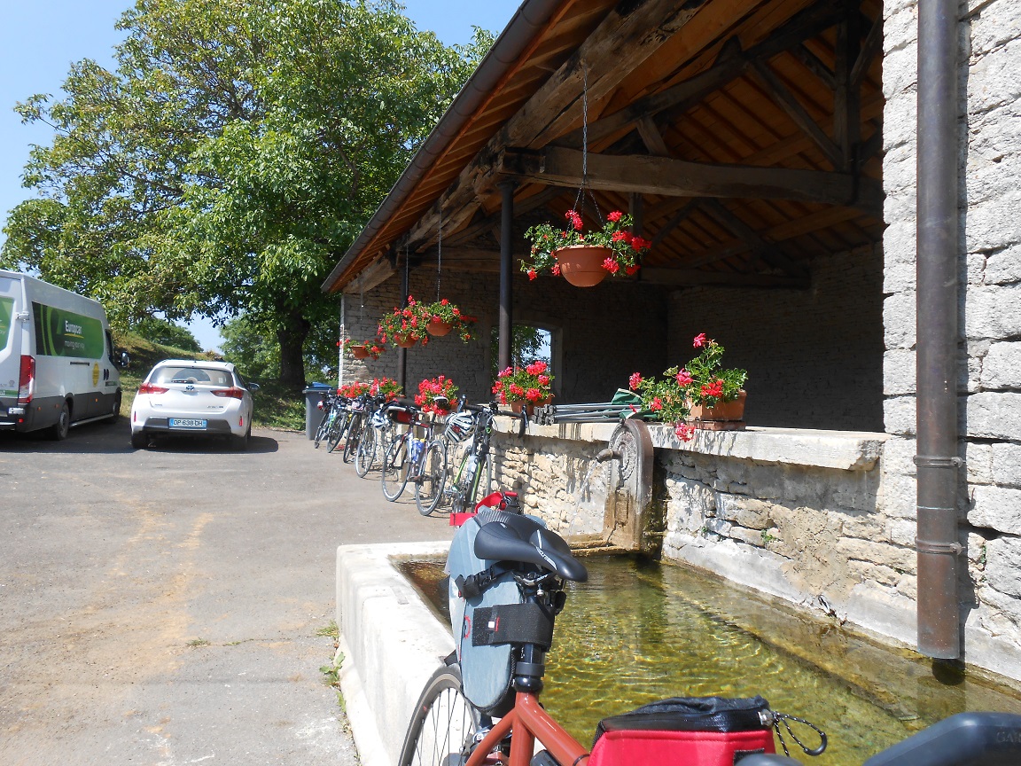
lunchstop


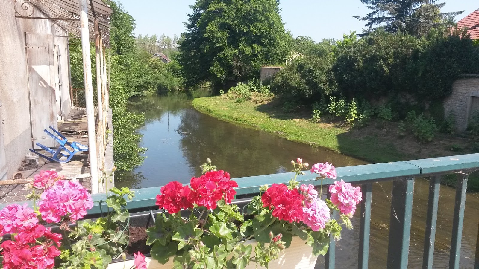
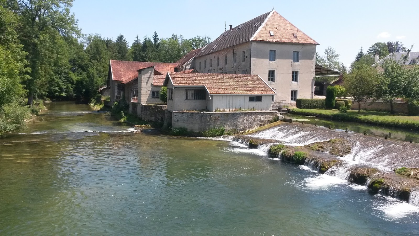
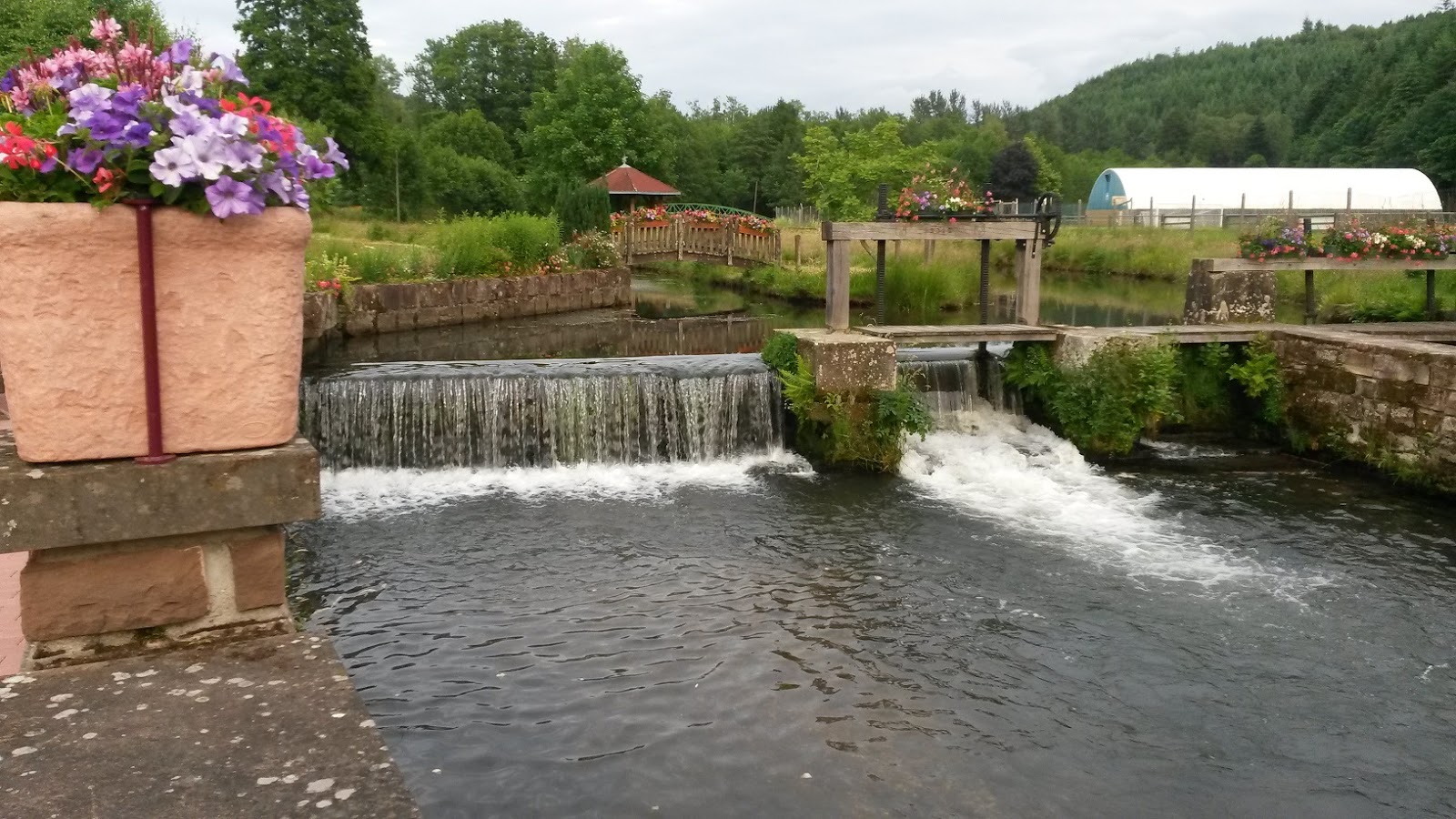
a beautiful old mill near a weir
 
Marek and Franc head towards Francheville
Francheville
Franc at Francheville


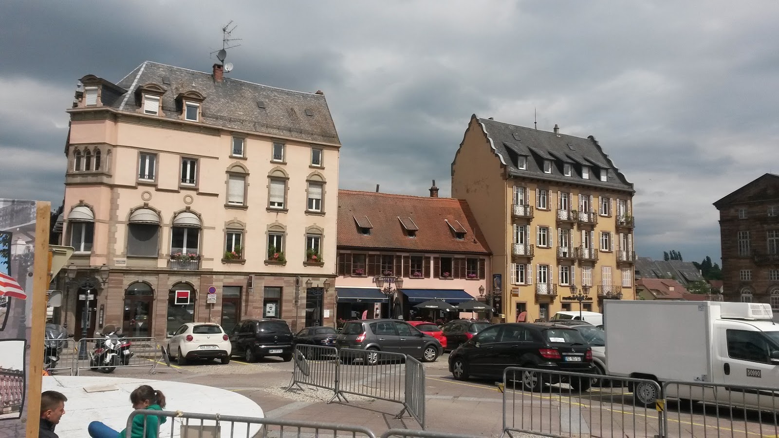
Ste Marie-sur-Ouche

100 Cols Stage 2 Abreschviller to Hurecourt

This was a great day to cycle in the Alsace forests and the Col du Sonon was our first challenge. The campsite at Hurecourt was on top of a hill overlooking the valley with many farms having rolled bales of hay. The early morning mist in the valley was very unusual. The campsite was able to supply cold beers (not sure if he had a liquor licence but nobody asked any questions)! These were much appreciated by many of the riders. The proprietor certainly made a good profit out of our group.
A cool dry night helped many dry their clothes and get a good rest. French military pilots were doing "wheelies" in the sky above our camp tonight. There is an airfield near here. Click here for maps of the route on Garmin Connect
Abreschviller Cycling by peterjkemp at Garmin Connect - Details
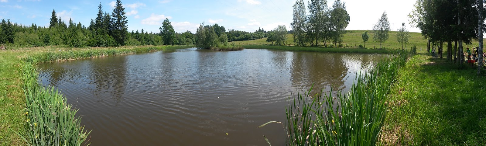
Lakeside lunch stop
lunch stop


Marek and Franc enjoy a coffee
rolling hills in Alsace region
Joergen at Senonnes

Senonnes Erik, Tim, Joergen and Ken
Hurecourt campsite Eddy, Damian, Margi, Tim, William, Lex, Gerhard


100 Cols Day 1 Obernai to Abreshviller

This first week is a “warm up” for what’s to come on the remaining stages. In total there are 34 days of riding and about 8 rest days. After a long trip from Sydney involving 2 international flights, two regional flights and a short train hop from the Strasbourg AP to Obernai, I arrived in at Hotel de Colombiere in a pretty tired state. A quick shower to freshen up and I was off to the hotel underground carpark to unpack my bike and re-assemble it for tomorrows departure. Once the bike was assembled and checked I headed into town to eat. The local speciality here is “Tarte Flambe” which is a flat round bread covered with local cheese and diced bacon along with champignons and your choice of other ingredients. This is baked and it is delicious. It is not recommended to refer to it as a “pizza style dish” as the locals will be most offended. They see it as an authentic and original dish with no connection at all to the Italian dish.
At 8am on the following day the group of 45 riders posed for photos in the town square and then headed west toward the hills. There were a couple of “off-course” moments which saw me heading off in the wrong direction but fortunately my riding partner for today Mark Robertson managed to call the errors and get us back on track. The route was scenic and through several ridges covered with dense pine forest. Although nowhere near as tough as what is yet to come this day was a preview of the level of difficulty for the days ahead.
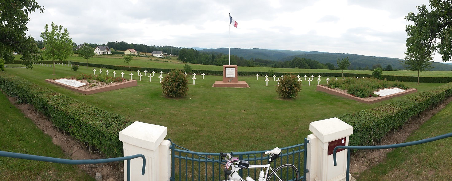
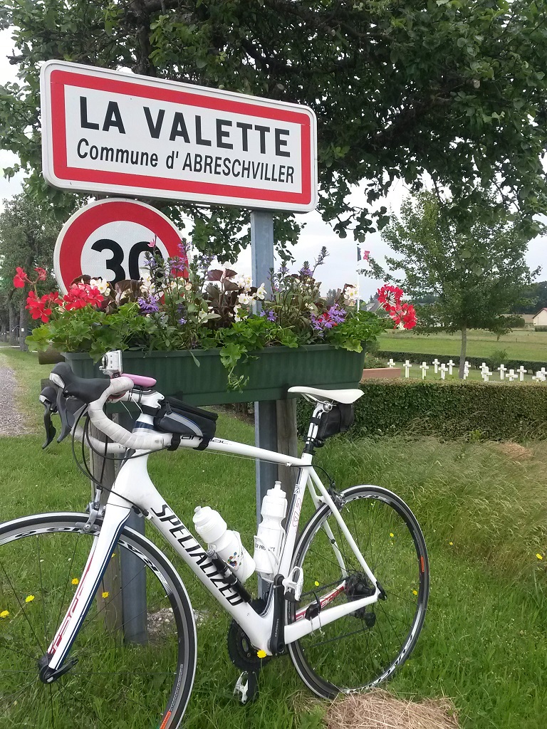
A navigation problem on my GPS on the last 5 kms on my journey took me off into a gravel road on through plantation timber forests. Once I reached the end of the gravel road I was able to find my way back to the campgrounds at Abreschviller without losing too much time. An added bonus from this detour was passing a military cemetery high on the ridge. I took a photo there at a road sign with a planter box attached to it. Dinner at camp was a local variation on meat and vege stew. Three meats (pork lamb beef) were included along with carrots potatoes onions and broccoli. The campsite was very basic, however we were all able to get showered and enjoy a very filling meal served up by Jaap and Aneke.
After a brief walk through the town of Abreschviller I returned to camp for a well-earned rest. Click below for the Garmin Connect activity link which includes map of the route.
Obernai Cycling by peterjkemp at Garmin Connect - Details
Group photo in Obernai
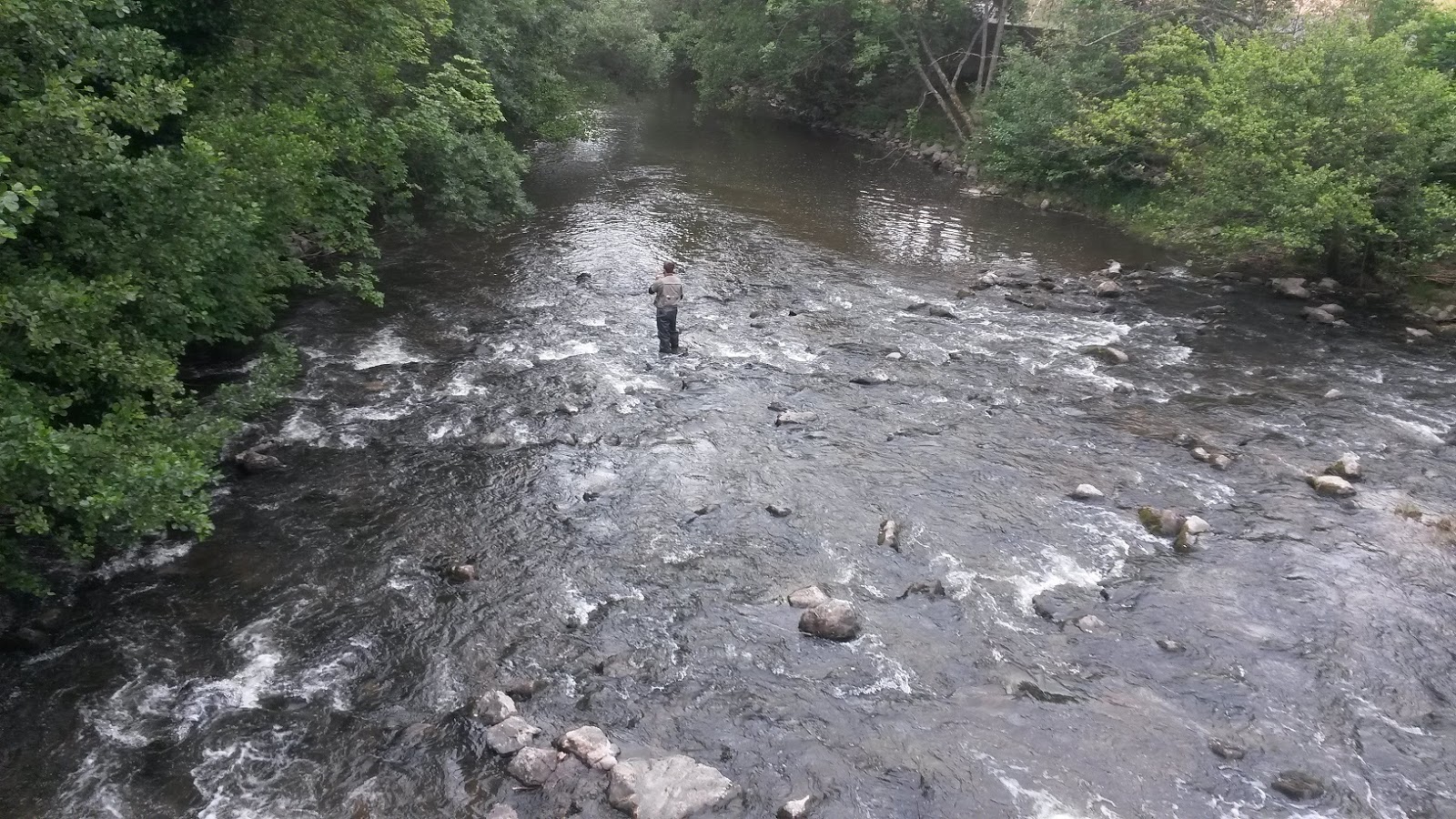
Fishing near Saverne
Saverne
Saverne - coffee and cakes with Keith, Stephanie, Jim and Mark
lunch with Ype
Military cemetery near Abreschviller
Military cemetery
Abreschviller

Jaap, Marek, Libby and Cindy
campsite at Arbreshviller
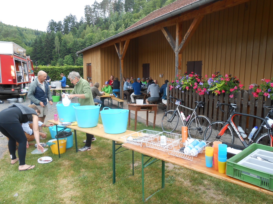
Wash-up detail
Gite de Abreschviller
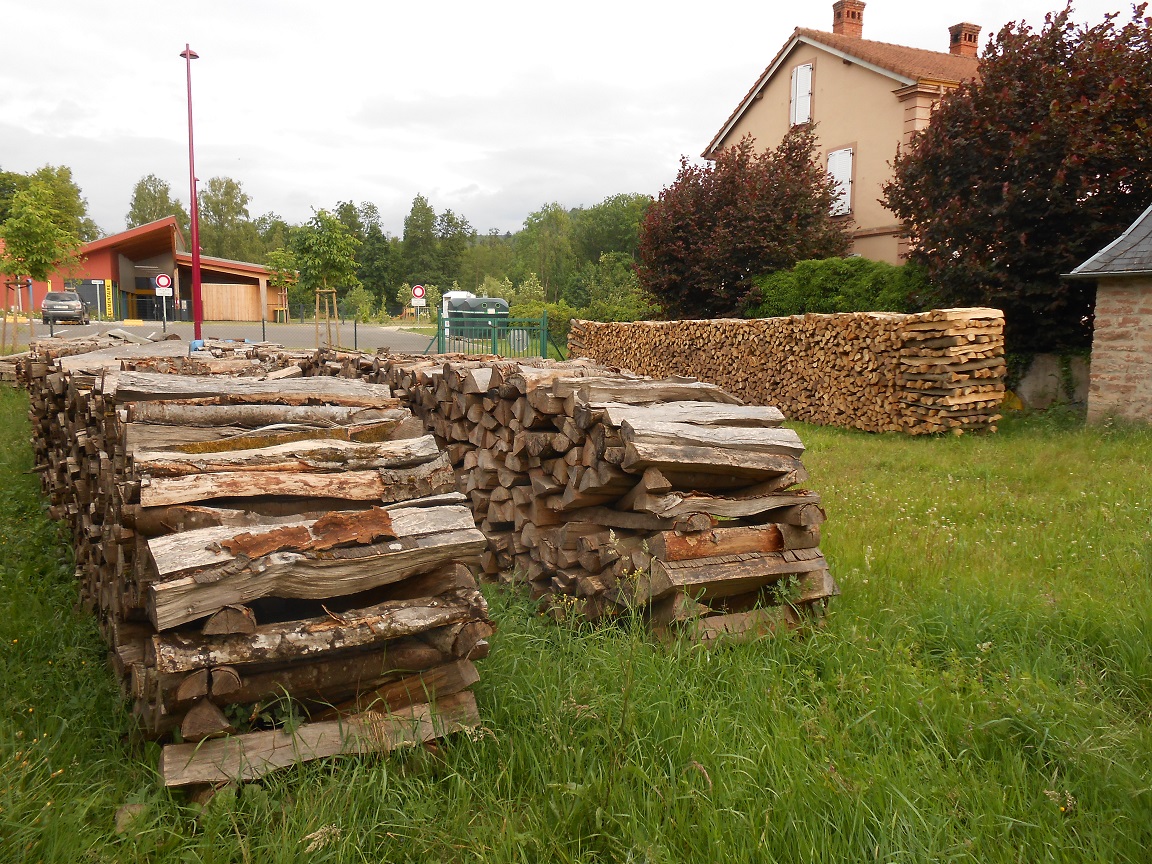
Firewood stockpiled at Abreschviller
Abreschviller

Wednesday, 3 June 2015

Bobbin Head 2x

A very chilly morning with mist rising off the creek on Bobbin Head Garminlink

Tuesday, 2 June 2015

In Search of Hills (part 2)

This ride covers some of the most scenic parts of northern Sydney. Last year in December I completed "In Search of Hills" an Audax Australia organised ride up and down most of the valleys in this part of the world. It involved 200km and over 3000kms of climbing. It is designed as a prelude to the Audax Alpine Classic in late January.  This ride is 250km with over 4000m of climbing. In March I completed half of the On Search of Hills course and this section is the second half. A great training ride and very memorable. Garminlink