Tuesday, 14 July 2015

100 Cols Day 30 Vallières to St. Claude 140km 3300m climbing

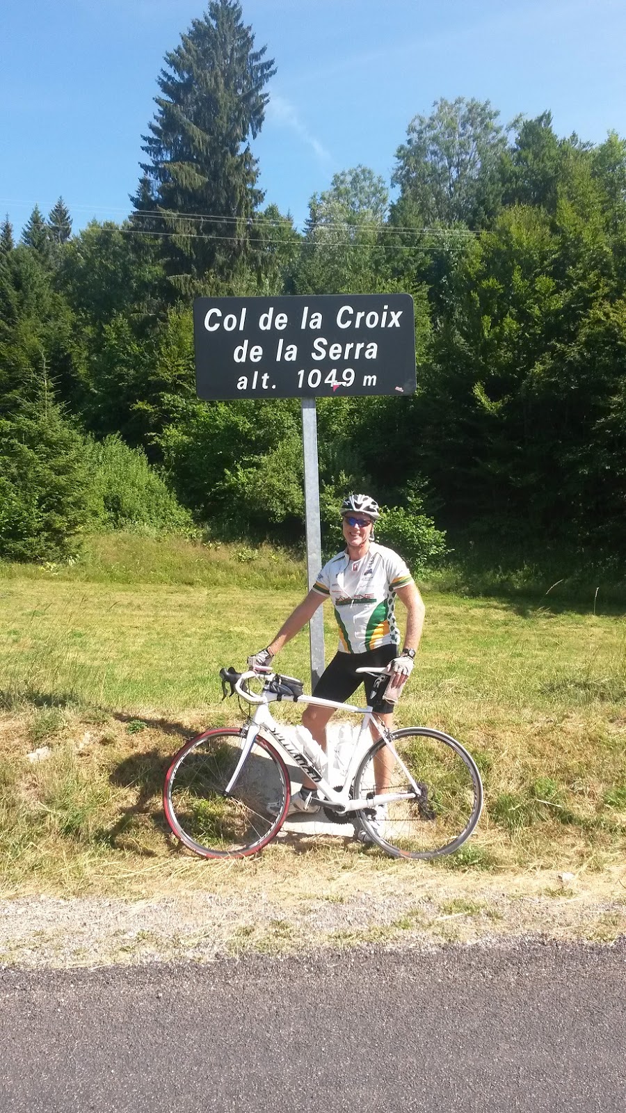
Possibly the most difficult day of the tour, with 3300m of climbing. The day started happily enough with the cool morning air greeting us on departure from Vallieres. The fun started almost immediately with the climb of the Col de Clergeon. At almost 1000 high it's not exactly a long climb, however the gradient was steep at 10-12%. Because it is lower down and there are a lot of forested areas, the road was shaded and gave us a bit of relief. It was a very steep descent and the road surface was not the best. It was important to watch the road ahead and keep the speed down.
Crossing the Rhone we could see the big climb of the day ahead of us. The Grand Colombiere. It started pretty sharply 23km from the top and reached 15% gradient in sections. No relief until about 7km from the top when the grade dropped down to 3-4% and gave a chance to gather some momentum. The final 6km was steep and hot.
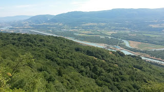
Great views of the Rhone Valley at the top and a view to a lake in the west, which we think may be Lake Annecy, but no-one could confirm this fact. The descent was fast and narrow, and I failed to close my crossbar bag and when I crossed a cattle grid at 55kph my camera and Garmin GPS fell out and skidded along the road. Fortunately the camera was protected by a case and the GPS was OK other than a few scratches. So it was a lucky outcome.
The last two climbs of the day were long but not too steep and got us over the 3000m climbing mark. Ype, our lunch van driver, arrived with much needed extra water on the final col. We headed into St. Claude and found a bar just near the campsite so it was a chance to celebrate a big day out on the bike with a coldie or two!
I enjoyed a great meal tonight but unfortunately felt a bit crook last night. Probably a result of the effort put in on today’s ride and dehydration. So I will be taking it easy on the rest day tomorrow. It's a chance to recover from a solid four days of riding before we head off toward the finish at Strasbourg in four days time. Garmin link here
Vallières Cycling by peterjkemp at Garmin Connect - Details
view above the Rhone Valley

view above the Rhone Valley
view from Grand Colombier
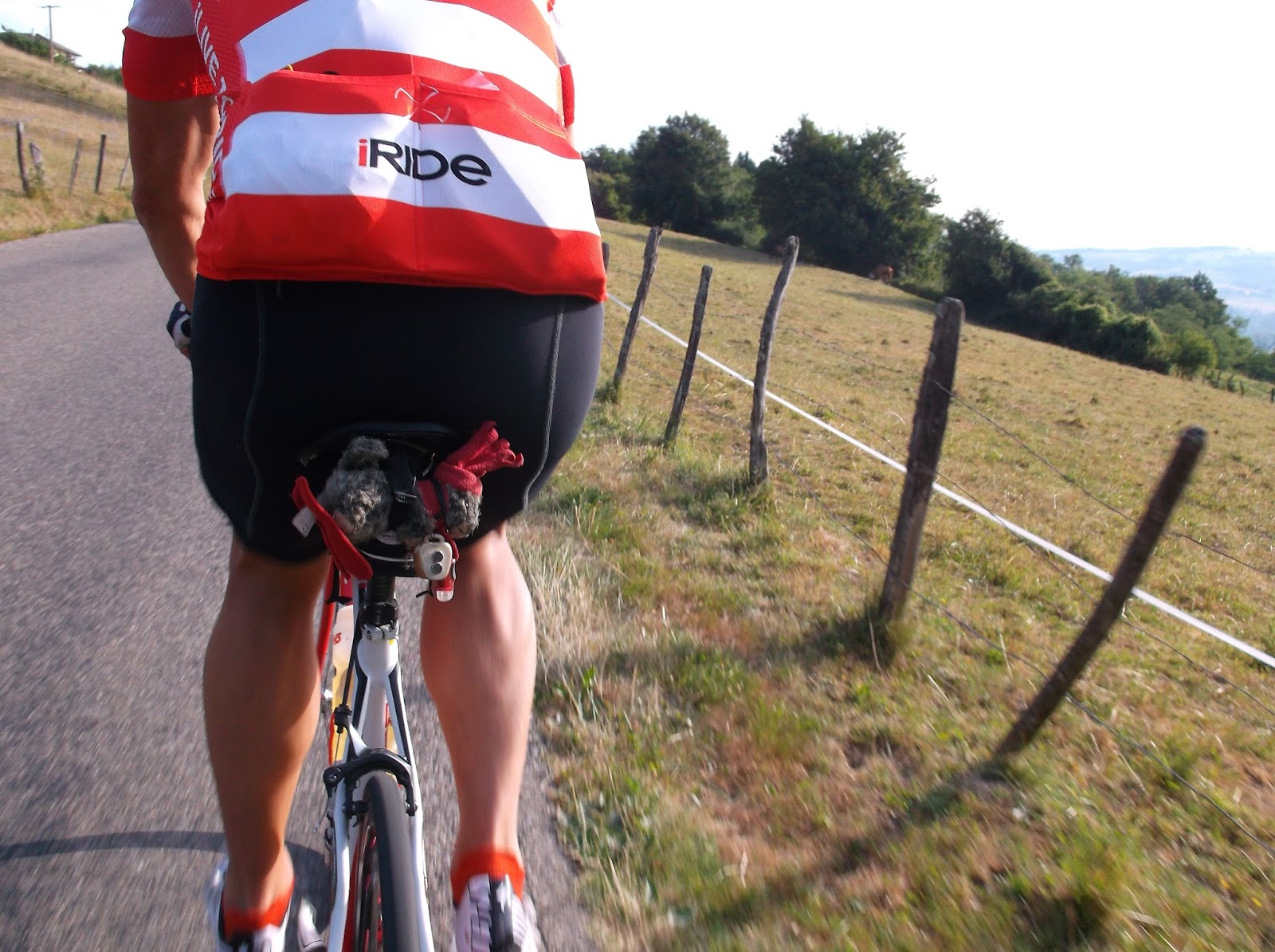
The "Marmot"enjoys a comfortable journey under Kiwi Dave's seat
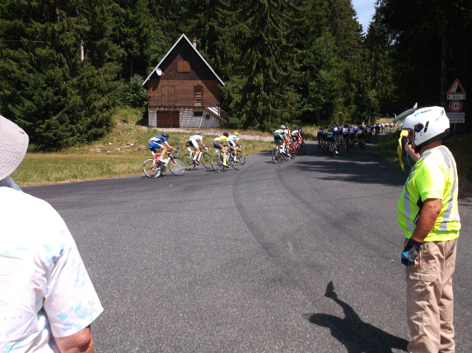
bike race in progress
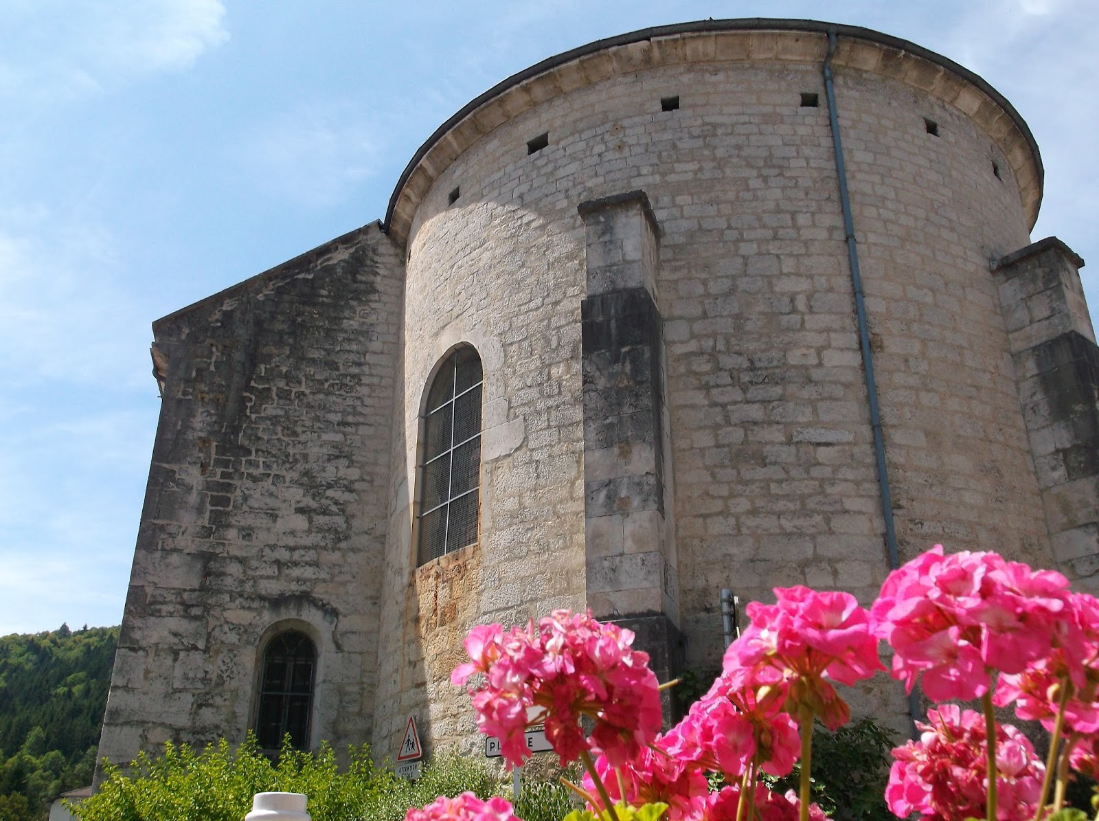
jet trails in sky above church
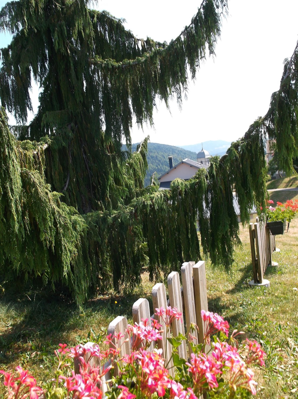
beautiful church gardens

Sunday, 12 July 2015

100 Cols Day 29 Beaufort to Ste. Vallieres127km 2600m climbing

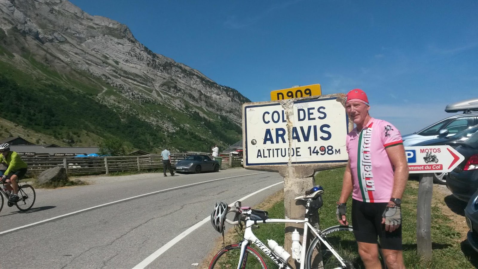
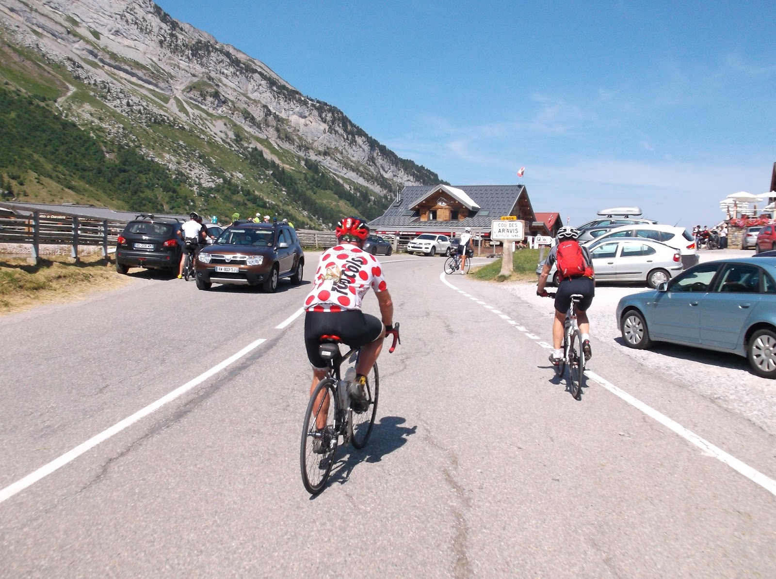
Today was the last day in the Alpes. I was a little sad to bid “Adieu” to some old friends; the Bonette, l’Iseran, Galibier are all great memories. Some new friends as well, like the Cormet de Roselend which we climbed yesterday. I was told by a friend who has ridden it that it was one of the most beautiful roads in the Alpes. It certainly lived up to his description. Today was another great weather day and there was the opportunity to see Mont Blanc from the Col de Aravis, which we crossed after the long climb to Col des Saises. Pictures don’t do it justice as the distance on the horizon is too great and even a little haze will prevent getting a good photo. After the final high Col de la Croix Fry, we left the Alpes and dropped down towards Annecy. Keen to get to camp early to attend to a few chores I followed the wheel of Gerhard. Given the problems I have had with my Garmin GPS, he rarely makes a wrong turn, so I was guaranteed to take the shortest route. Unfortunately no views of Lake Annecy. But tomorrow may be a chance with the climb of the Grand Colombier. Garmin link here
Beaufort Cycling by peterjkemp at Garmin Connect - Details
Les Saisies
Les Saisies

Mont Blanc from Col des Aravis
heading to Col des Aravis
en route to Col des Aravis
Gerhard and Damian Col des Aravis
near Col de la Croix Fry
campsite Vallieres

100 Cols Day 28 Lanslevillard to Beaufort 112km 2500m climbing

The Alpes is a place where cyclists dreams become memories. You cannot compare the grandeur of the scenery. Seeing the scale of the Vanoise and the Isere Valleys on today’s ride in perfect conditions was a rare treat. I don’t care too much for the pain and effort riding up these passes, but it is quickly forgotten once you see the peaks and valleys that surround you.
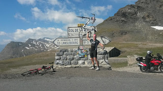
Today’s ride over the Col de l’Iseran has the distinction of being the highest paved mountain pass in the Alpes. It’s a beautiful view on both sides. I rode most of the morning sections with my riding buddy Tony. After stopping for many pictures on the final climb of the Roselend, I fell behind. We met up again on the final descent and enjoyed a beer at the town of Beaufort before heading into camp.
Great meal tonight which included a seafood cocktail entrée. No WiFi at this camp so the blog will have to wait until I can “connect” with the world again. Garmin Link here
Lanslevillard Cycling by peterjkemp at Garmin Connect - Details
sunrise at Lanslevillard
Col de L'Iseran
Col de l'Iseran
Col de l'Iseran
looking towards Val d'Isere and Tignes
Lake at Tignes
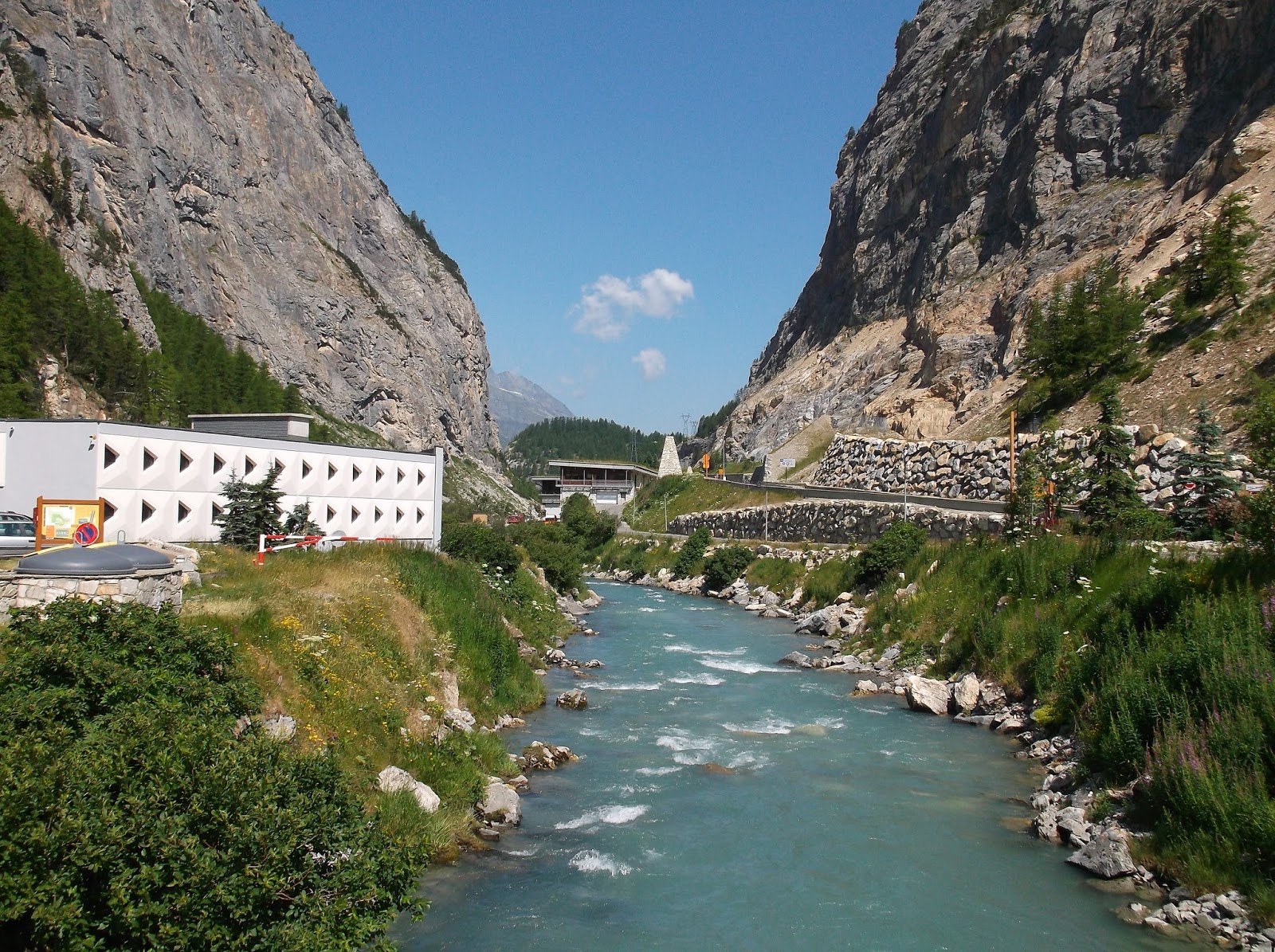
Isere River
Cormet de Roselend
Cormet de Roselend
Glacier on Cormet de Roselend
Cormet de Roselend
Cormet de Roselend
Cormet de Roselend
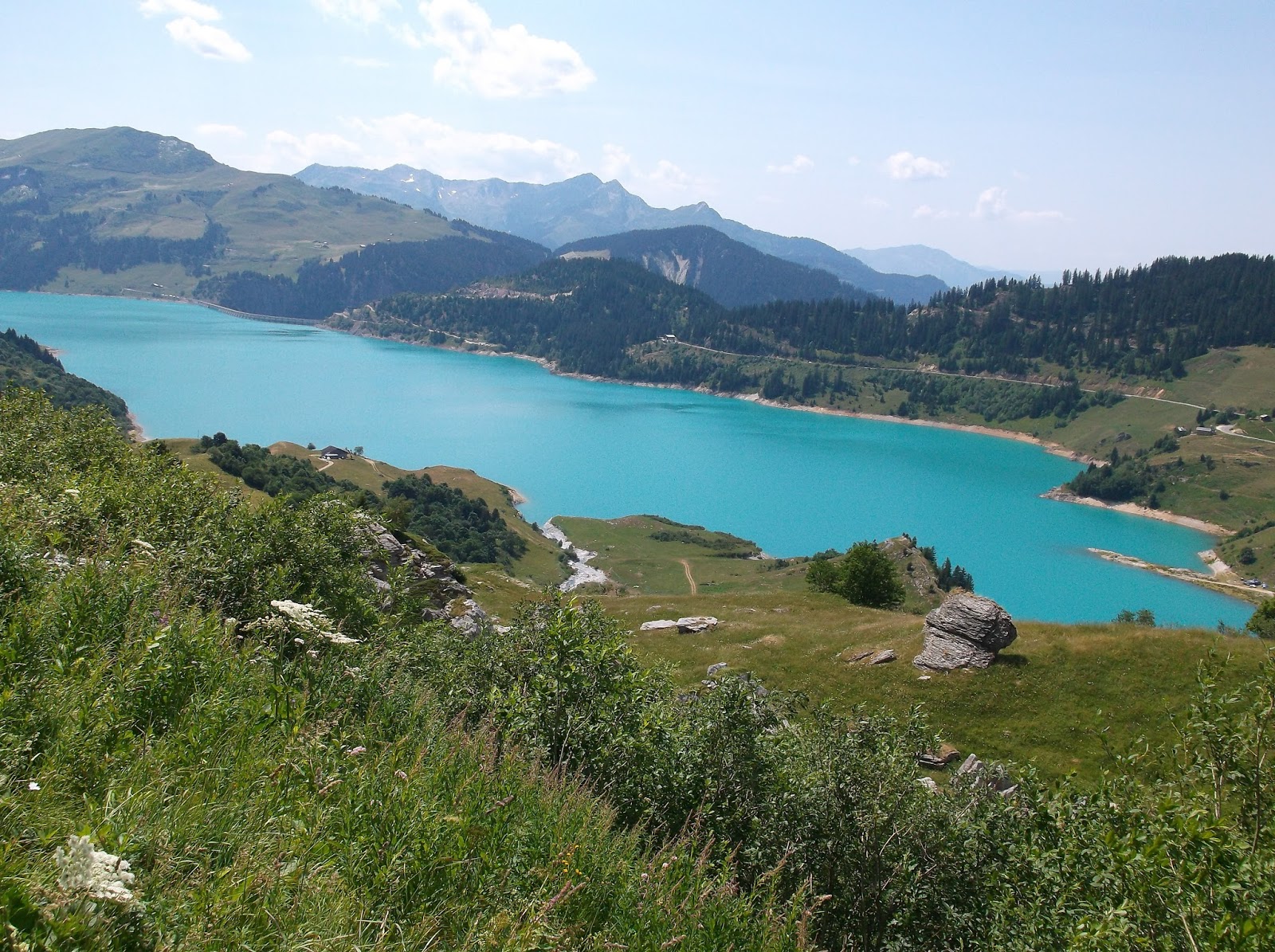
Lake on descent from Cormet de Roselend
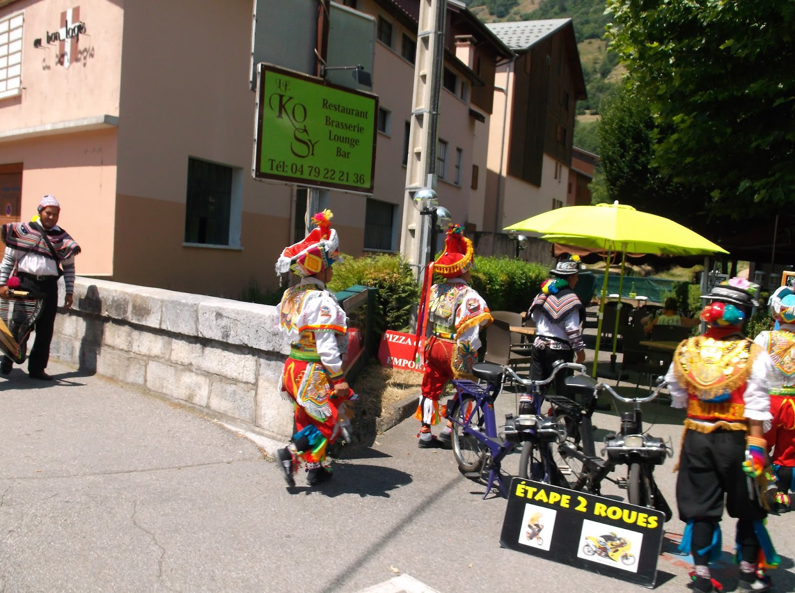
Colourful costumes
Colourful costumes

Friday, 10 July 2015

100 Cols Day 27 Briancon to Lanslevillard 117kms 2600m climbing

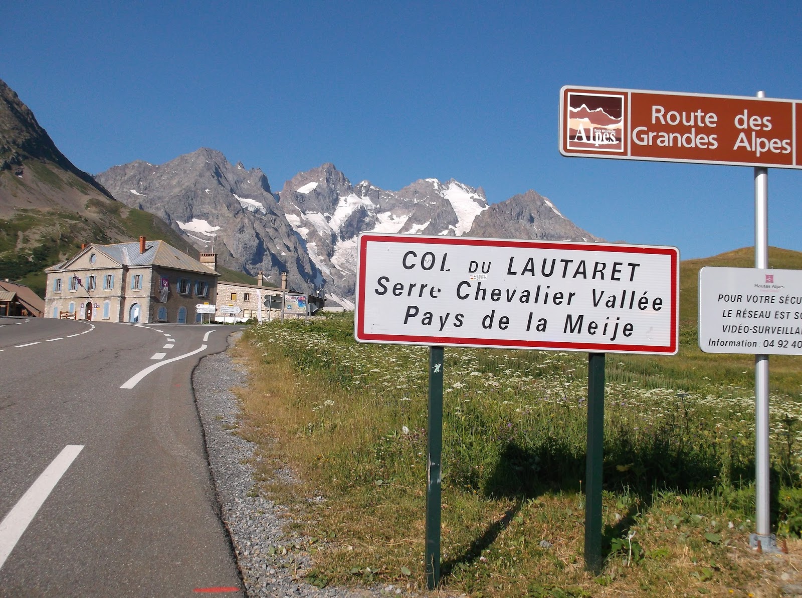
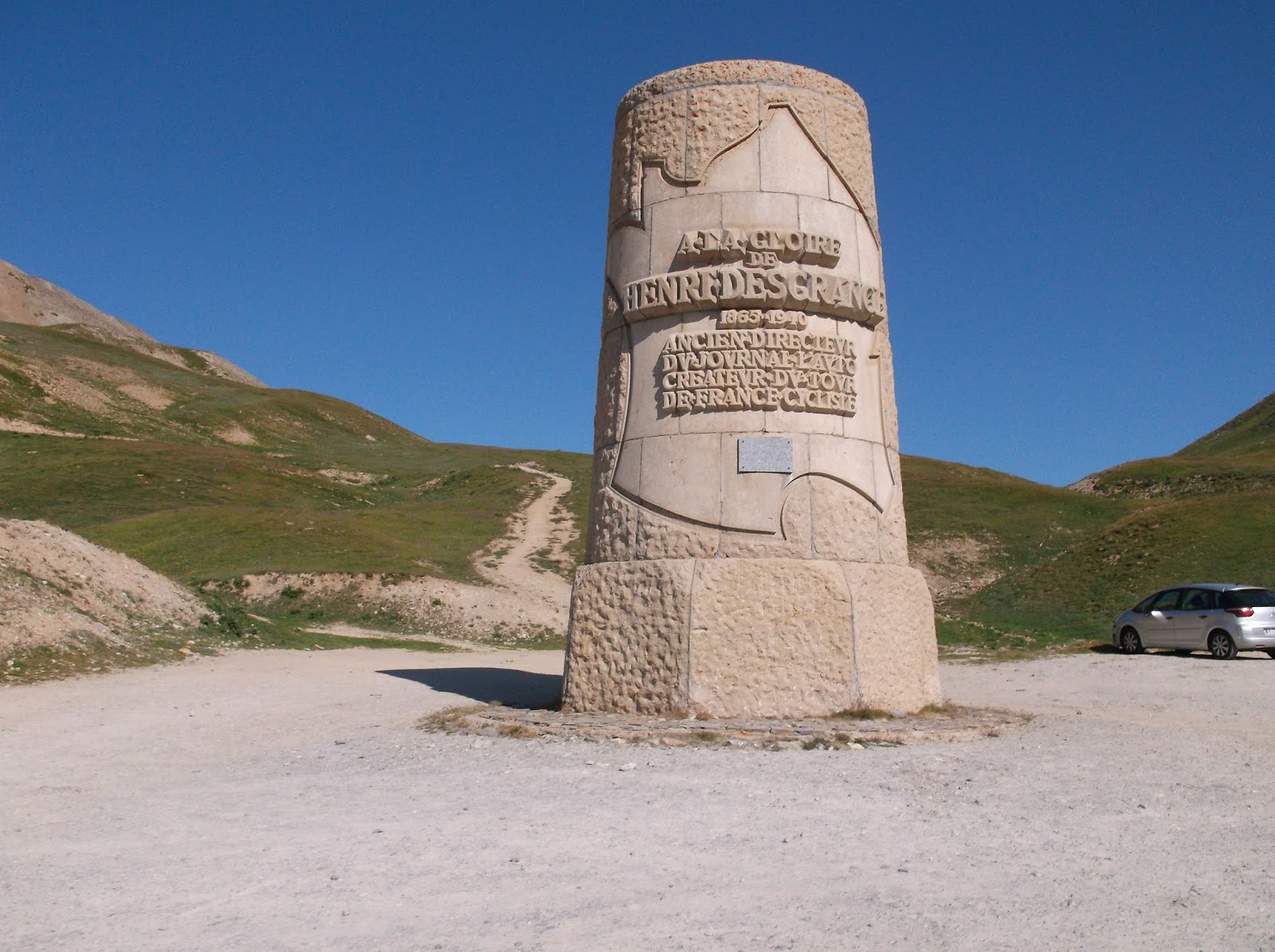
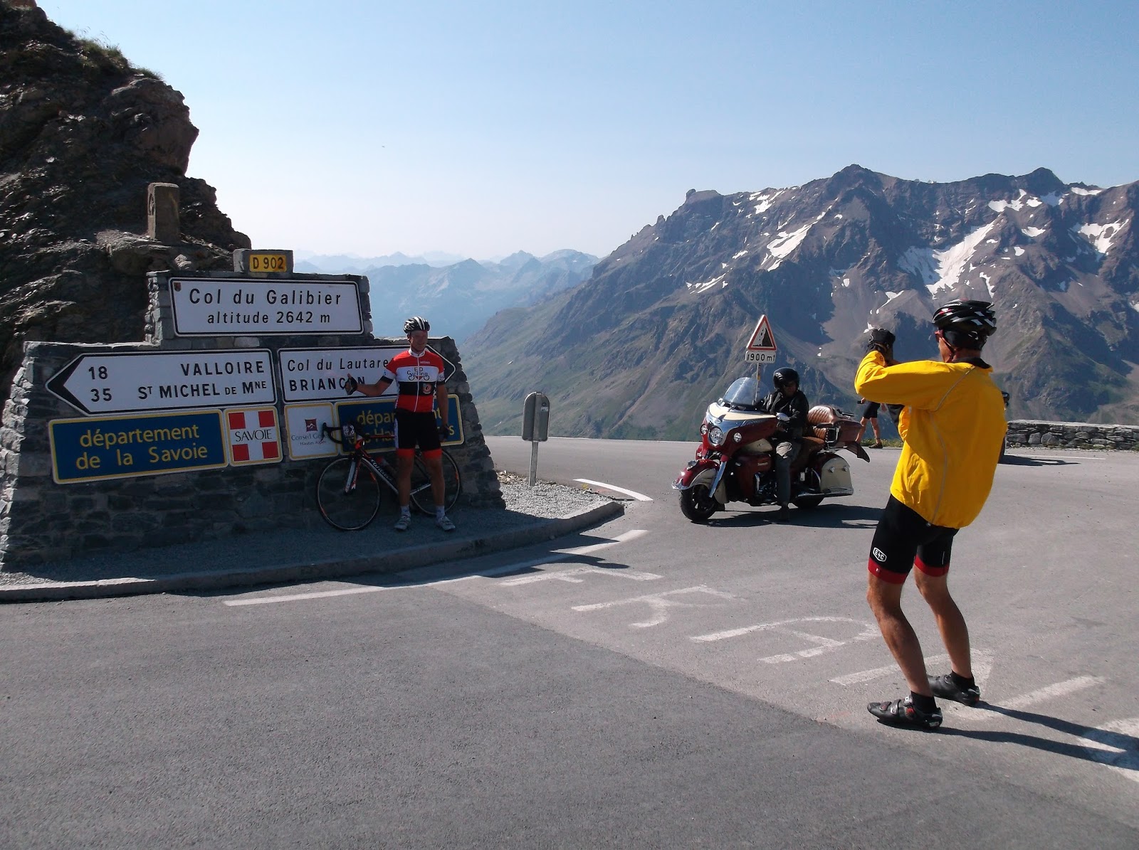
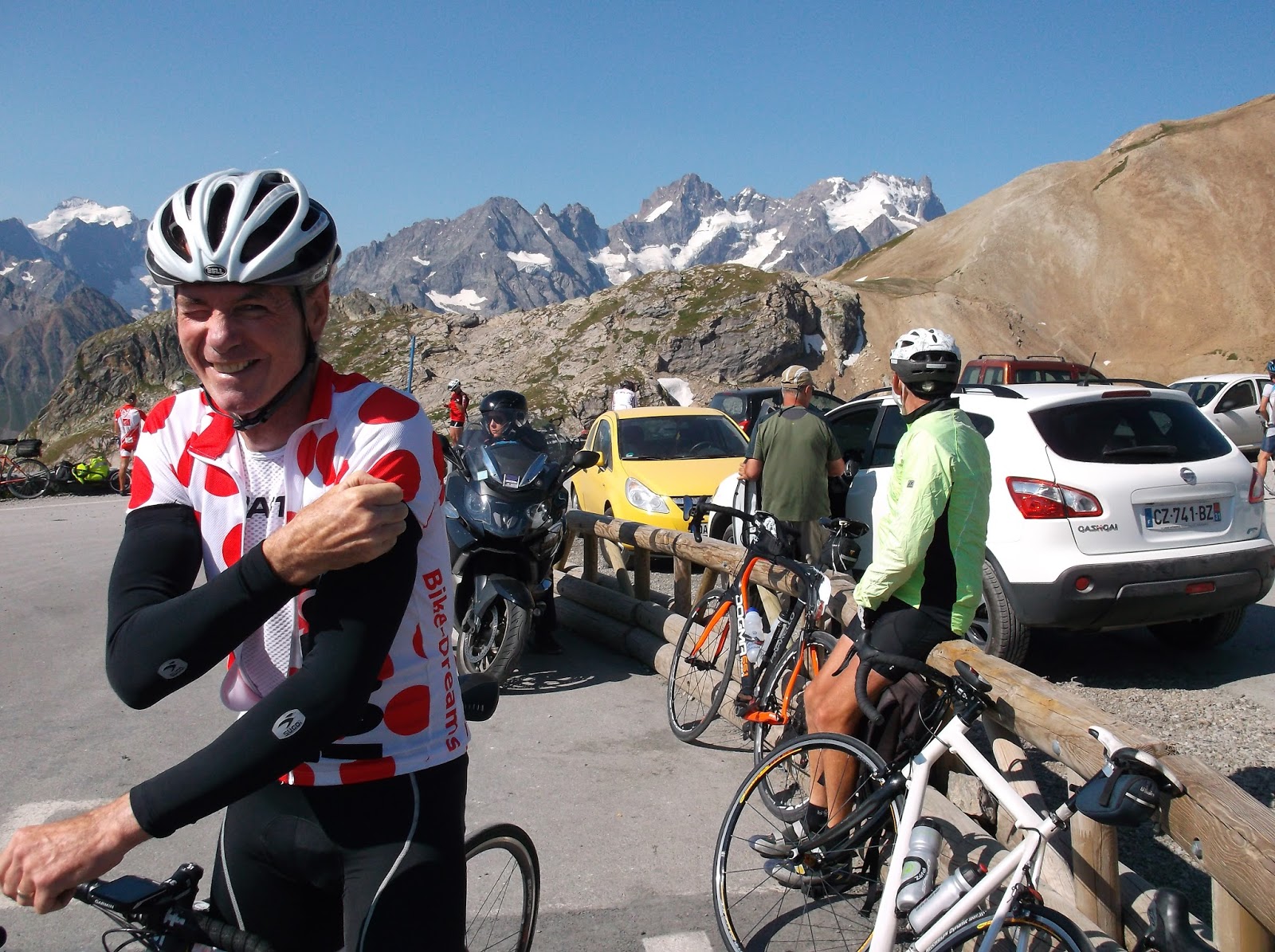
Just as on our last cycling day the weather was very kind to us this morning. A cool breeze with a sunny outlook meant that we had a comfortable and very scenic ride to the Col du Galibier which reaches just over 2500m in altitude. Before starting on the final 6km climb to the Galibier we had to reach the Col du Lautaret, a relatively easy climb at 3-4% grade. The the fun begins as the road to the Galibier steepens. Riding past the Henri Desgrange memorial (The “Father” of the TDF) in the final kilometre adds a bit of history to this ride. The descent from Galibier on the northern side through Valloire, is very steep and fast, so you have to watch carefully for cars and motorbikes regularly coming up in the other direction.
After passing the lunchstop, I took a waffle and coffee in Valliore and then headed to the Col de Telegraph (where lunch was supposed to be). No probs though, as I met a couple of other Aussie rides (Jamie and Mark) and we found a great little bar/restaurant in Ste. Michel-de-Maurienne and ordered hamburger and chips. After joining them for a 10km section along the Vanoise river valley, I had a soft drink (yes alright, a coke!) with three USA riders, Cindy Jeff and Thom, then we headed off towards camp approx. 20 kms along.
This final section of the ride over the Cote de Rossanges and Cote de Termignon was very pretty with a spectacular view of the Fort on the cliffs near Modane. Finally reaching Lanslebourg Mont Cenis, I was coaxed into a Creperie by Rob and Greg. Yes, only 2km from camp, and there I am drinking more coffee and eating icecreams!
The campsite at Lanslevillard doesn’t offer much shade, however the facilities here are good and the WiFi seems to work well.
Tomorrow the highest paved mountain pass in the Alpes (Col de l’Iseran). Garmin link here
Villar-Saint-Pancrace Cycling by peterjkemp at Garmin Connect - Details
Vanoise Valley climbing to Col du Galibier from Jausiers
Desgrange memorial and the climb from Vanoise
Galibier
beautiful private garden St Jean de Maurienne
Col du Telegraph
en route to Lanslevillard
Briancon
Col du Lautaret
Desgrange Memorial
Keith and Eddy
Greg
Damian
Valliore
en route to Lanslevillard
Cindy Tom and Jeff
en route to Lanslevillard
St Jean de Maurienne