Back on track I stopped briefly at Isola and had a coffee and admired the flower arrangements around the town and then headed off up the Bonette. The lunch stop was early at Ste Etienne-sur-Tinee and most of the riders had started on up the mountain by the time I arrived at lunch. So with plenty of water and a great lunch in my belly I started the 23km haul to the top. After catching some of the group we passed through the 2000m altitude mark and the “Camp des Fourches” an abandoned village high on the mountain. Sheep herders lived up here for many years until they were forced from their homes during WW2. They never returned and what remains are just the ruins of thier stone cottages.
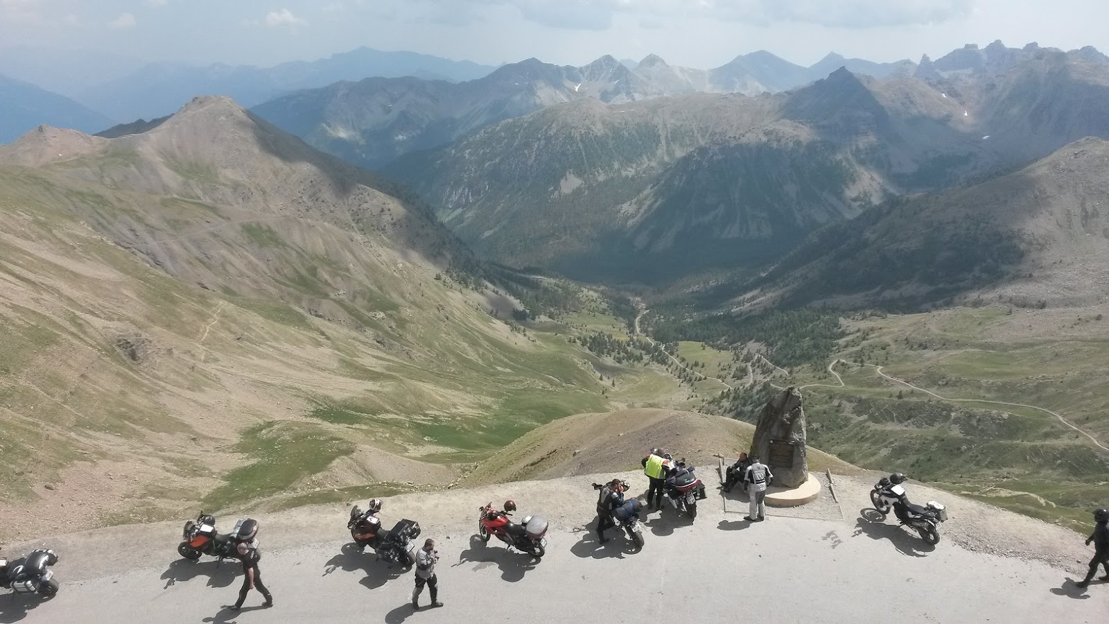
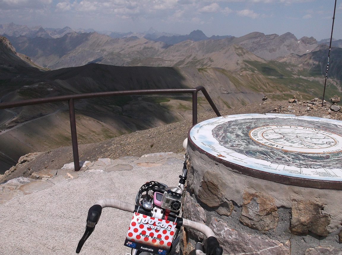
After reaching the col at 2802m it was time to take the loop road which circles the summit of the Bonette. This gives it the distinction of being the highest paved road in the Alpes. The Col de l’Iseran is higher than the Col de la Bonette, so they built the loop road just to go higher. There is an orientation plaque which shows all the major Alpes and their names right at the very peak of the Bonette, however you can only walk to it.
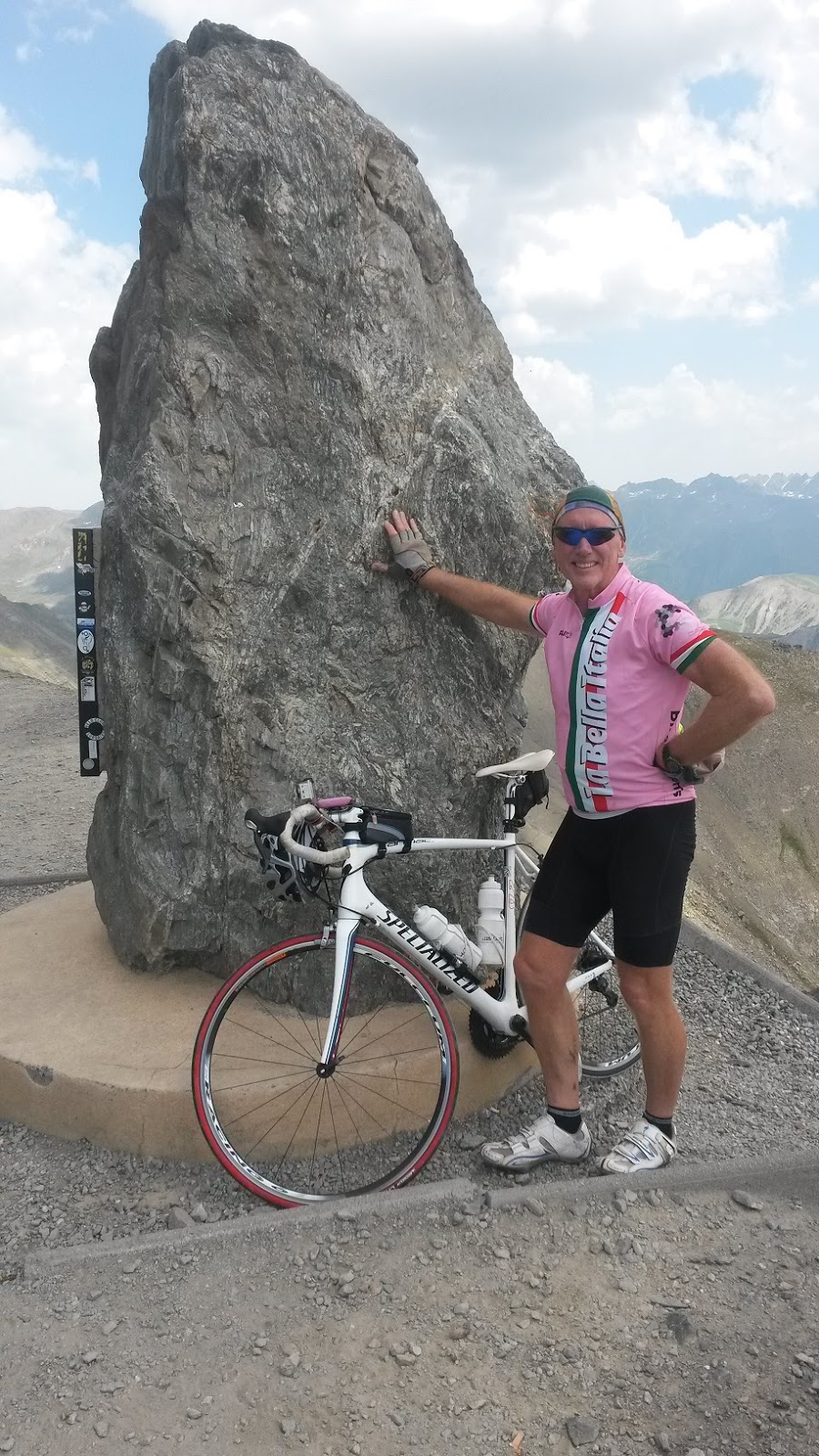
The top of the Bonette is 2862m high and offers a spectacular panorama of the Alpes in all directions. The weather is a key factor of course and toady it was quite clear except for a few clouds. In the distance I could see a storm approaching from the Tinee Valley, so it was not possible to stay around for too long. I have visited this same spot previously in 2012 when I climbed it on my bike from the other side. The climb on both sides is equally beautiful, however a lake near the top on the Jausiers side is very picturesque. It was an emotional moment for me as I leaned my bike against the base of the plaque at the very top. I could recall the feeling of 3 years ago when I stood with my bike in the exact same position. At that time I would never have thought I would be back again. But to re-live such a wonderful experience brought me to tears. I enjoyed a relaxed descent through the lovely green valley on the way to camp at Jausiers and sat to reflect on a great days riding and a very special moment at the top.
Tonight in Jausiers there was a free concert in the town outside the Office de Tourisme. About a dozen of us headed into town to enjoy the music and a few beers. The town of Jausiers has a “Sister City” relationship with a town in USA. So the music was a celebration of the type of music from the States, mixed in with some local French Reggae and Rock music. Garmin link here
Beuil Cycling by peterjkemp at Garmin Connect - Details
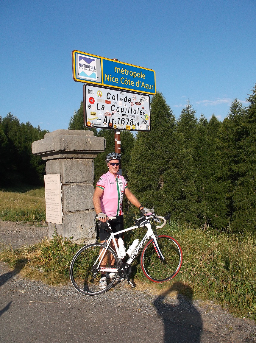 |
| Col de la Couillole |
 |
| the town of Rubion perched on the mountainside |
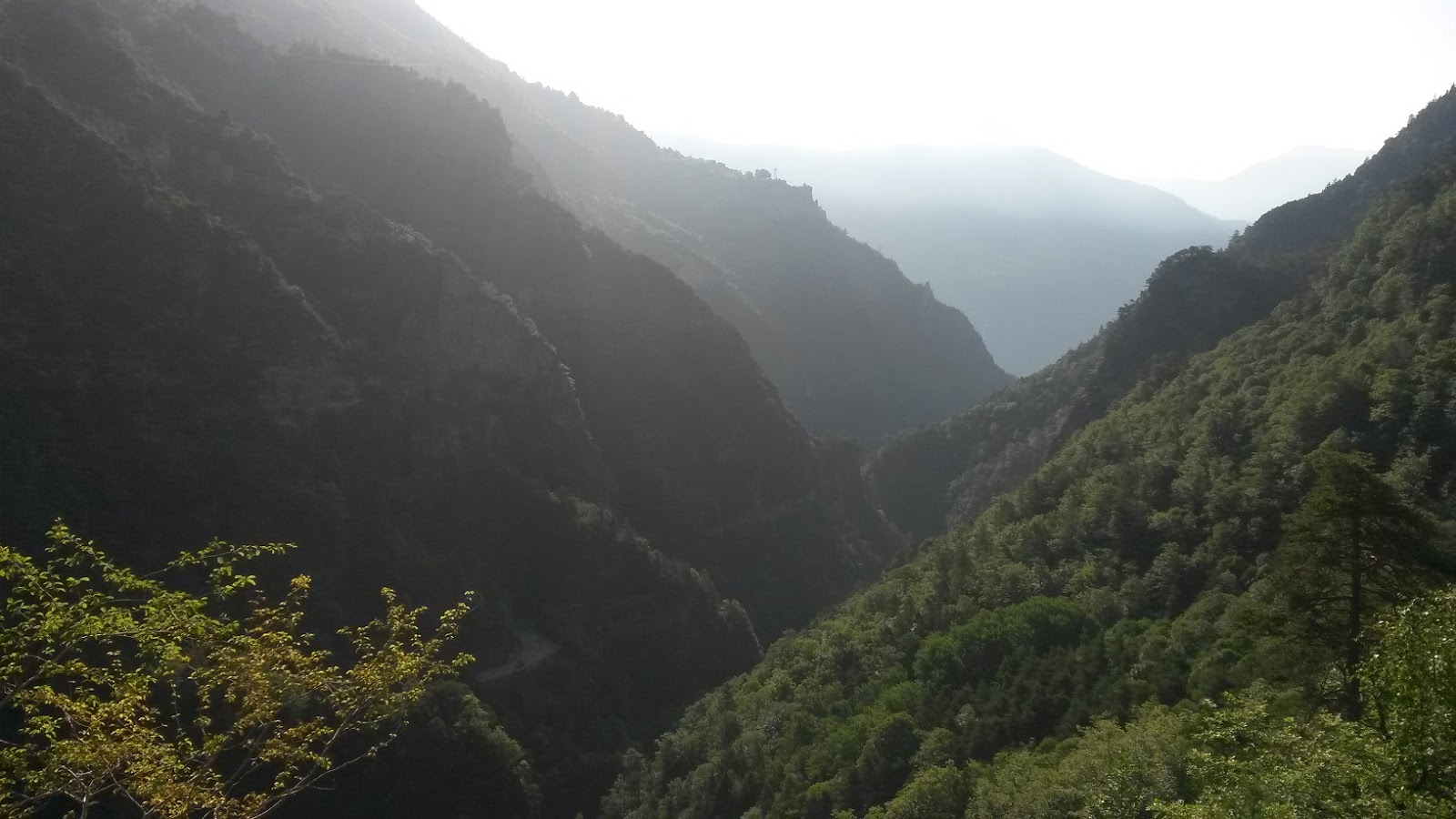 |
| valley descent to St. Sauveur sur Tinee |
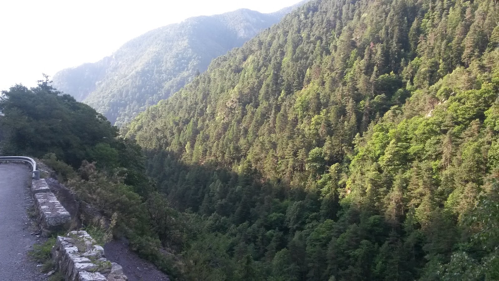 |
| a steep and narrow descent |
 |
| forests cover each side of the valley |
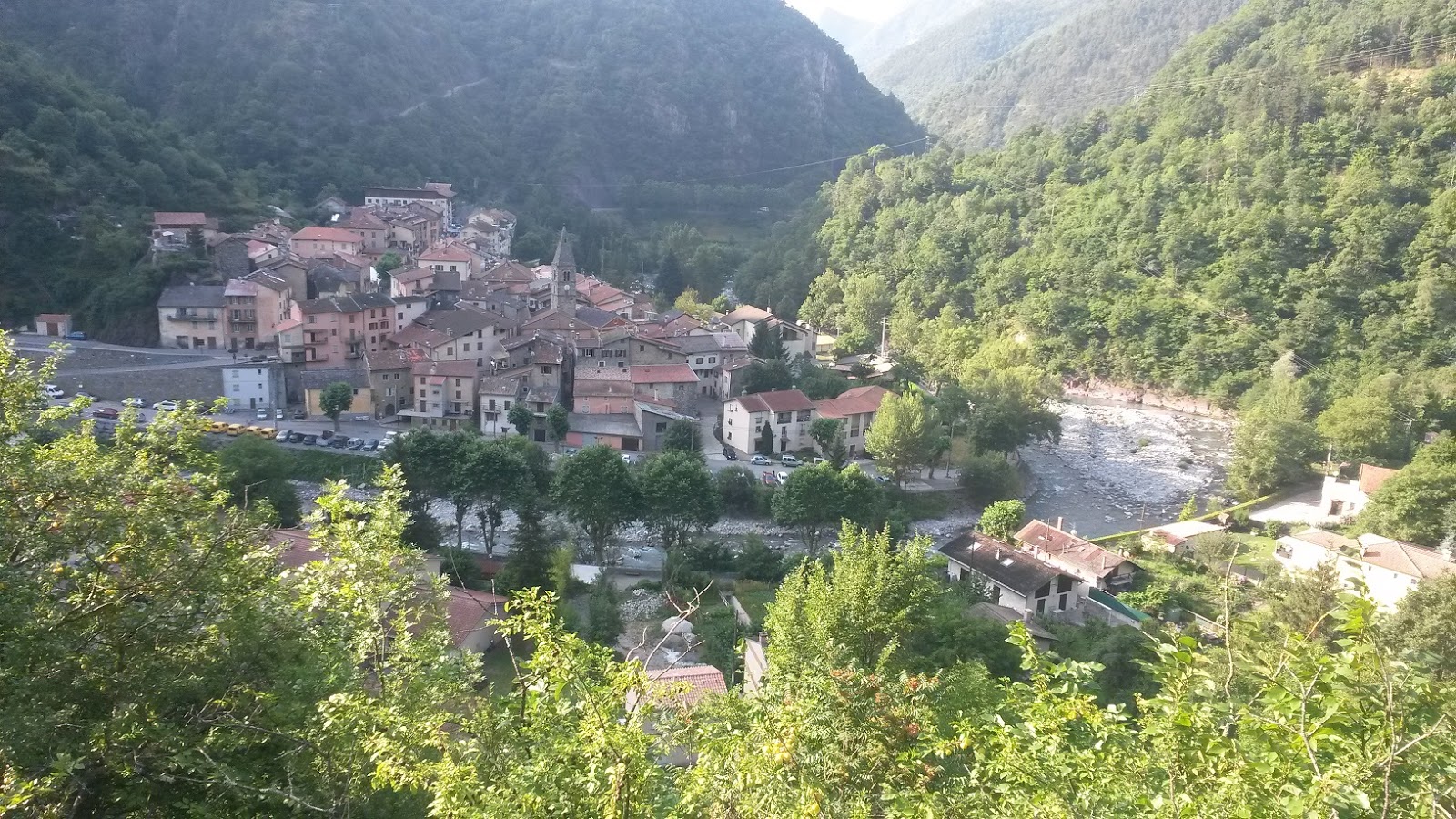 |
| St. Sauveur sur Tinee |
 |
| St. Sauveur sur Tinee |
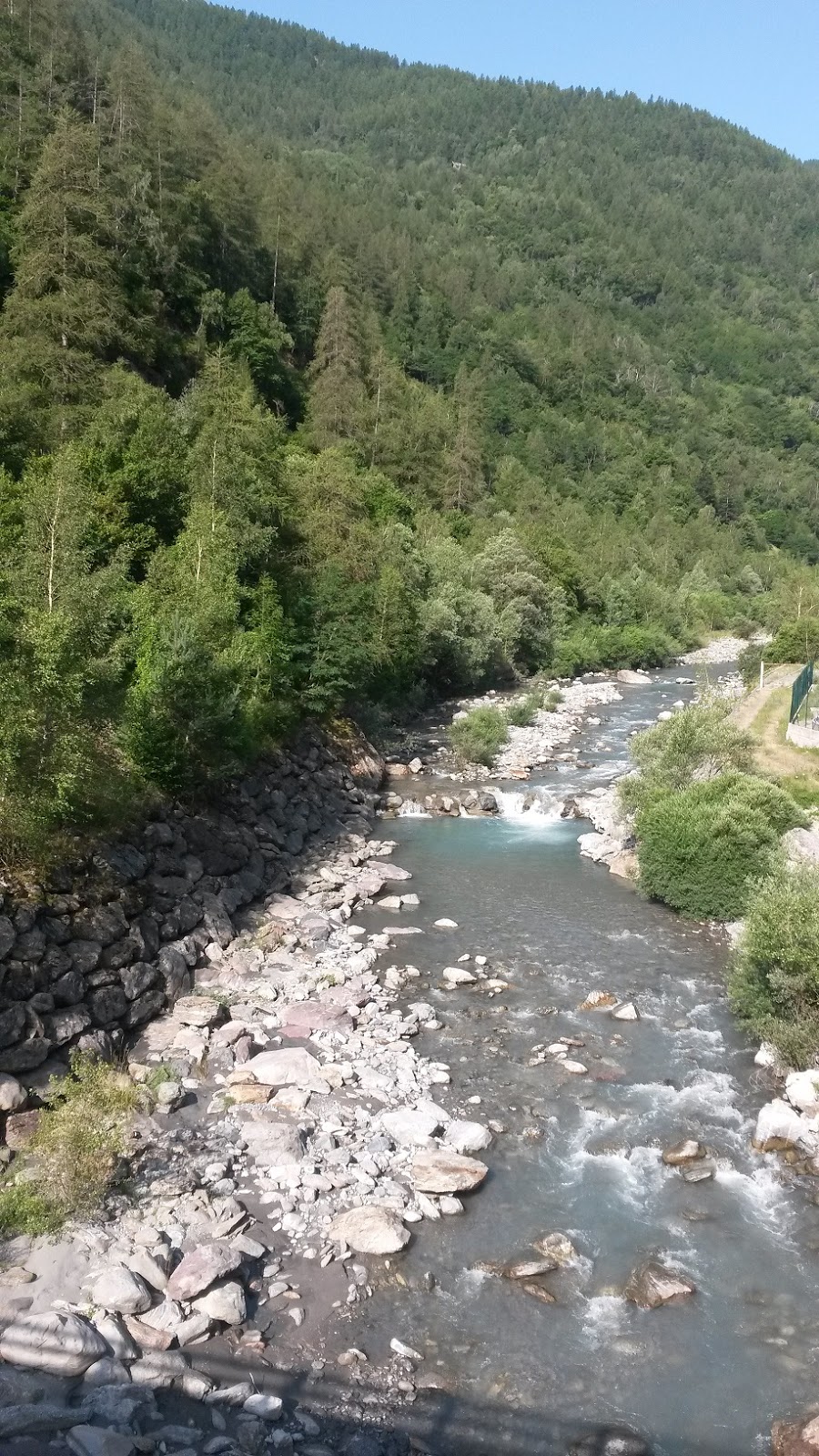 |
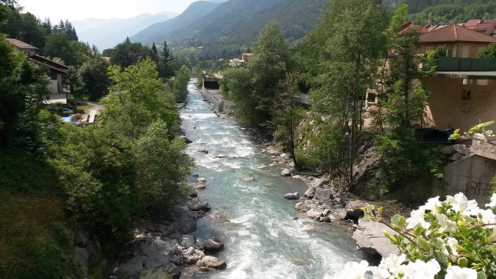
| Tinee River |
 |
| Escargot! |
 |
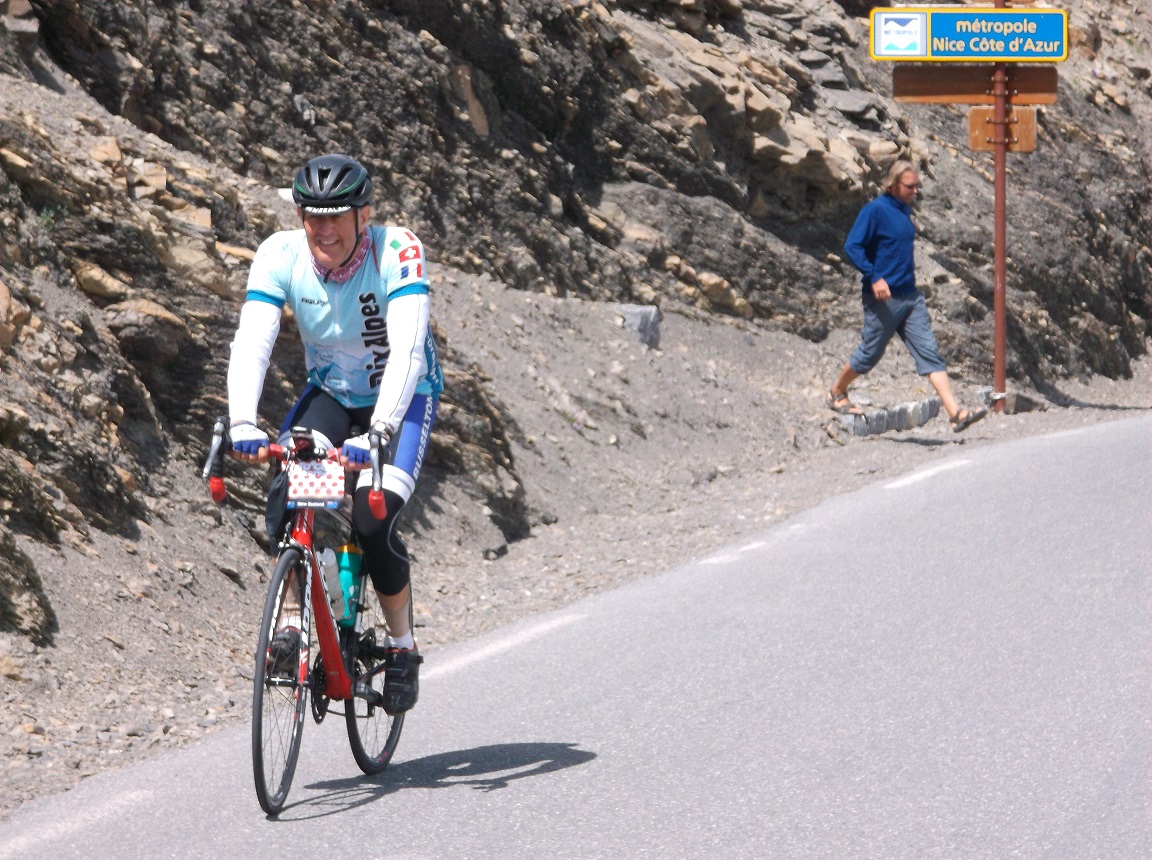
| Isola |
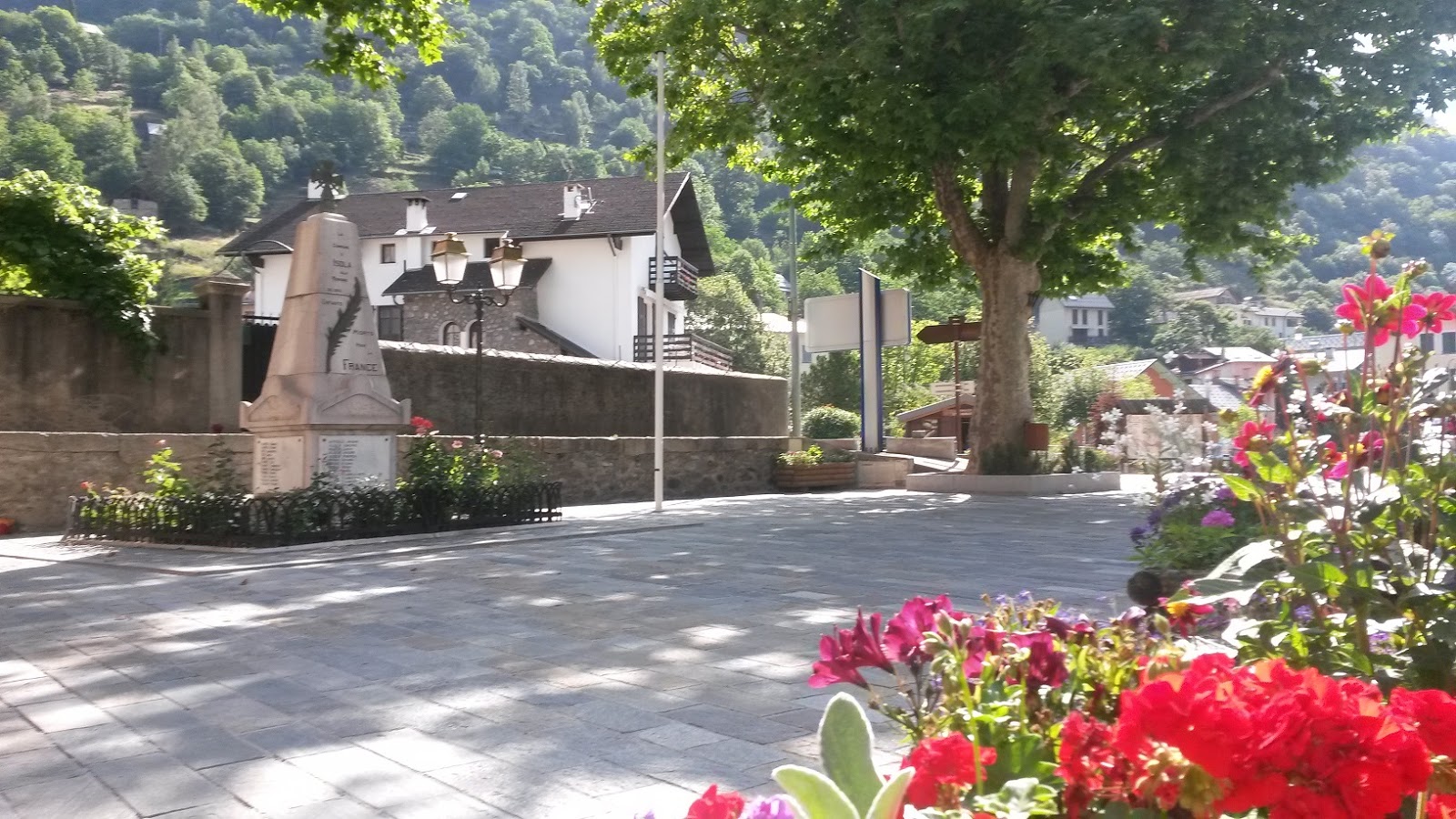 |
| Isola |
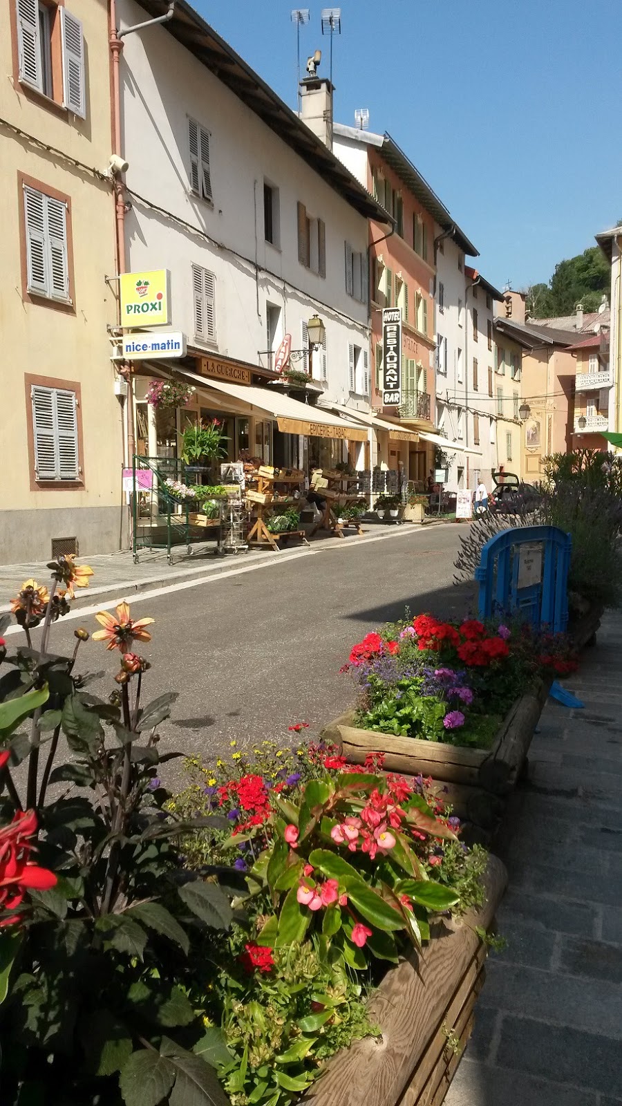 |
| Isola |
 |
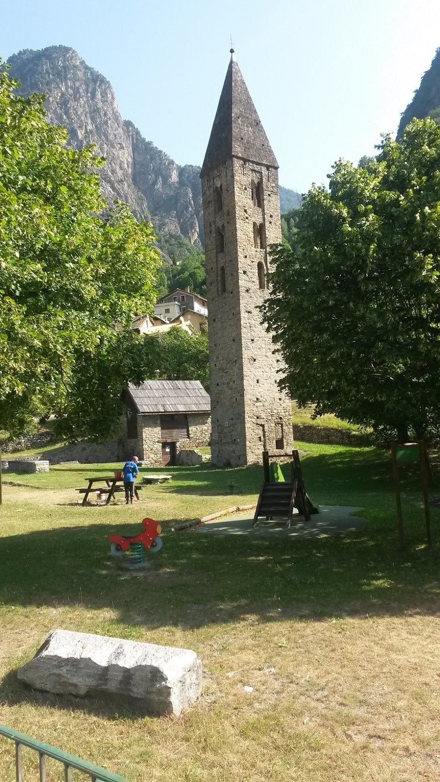
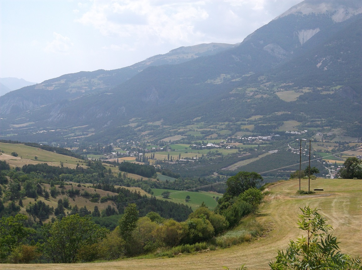
| St. Etienne de Tinee |
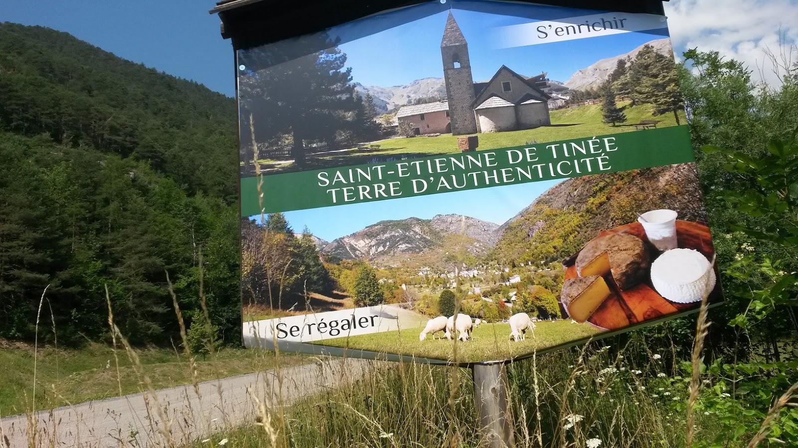 |
| St. Etienne de Tinee |
 |
| St. Etienne de Tinee |
 |
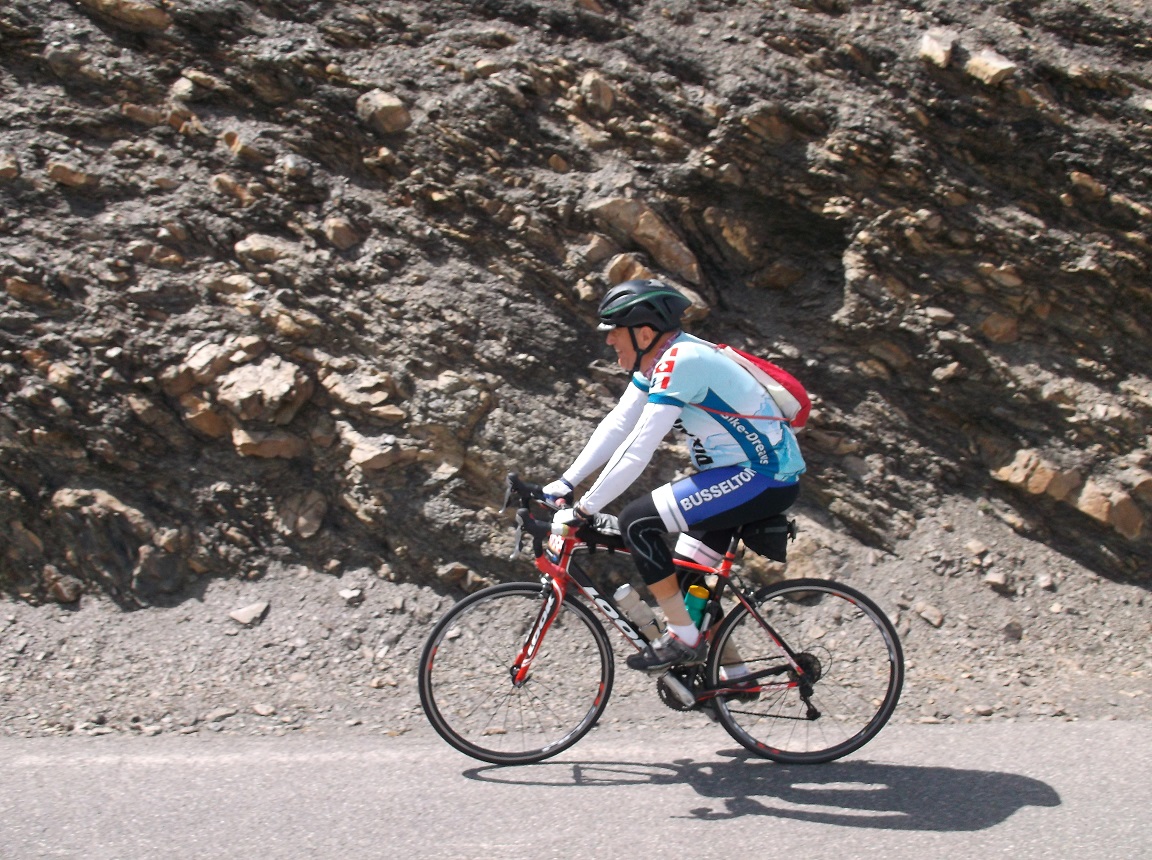
| Cime de la Bonette |
 |
| Cime de la Bonette |
 |
| Cime de la Bonette |
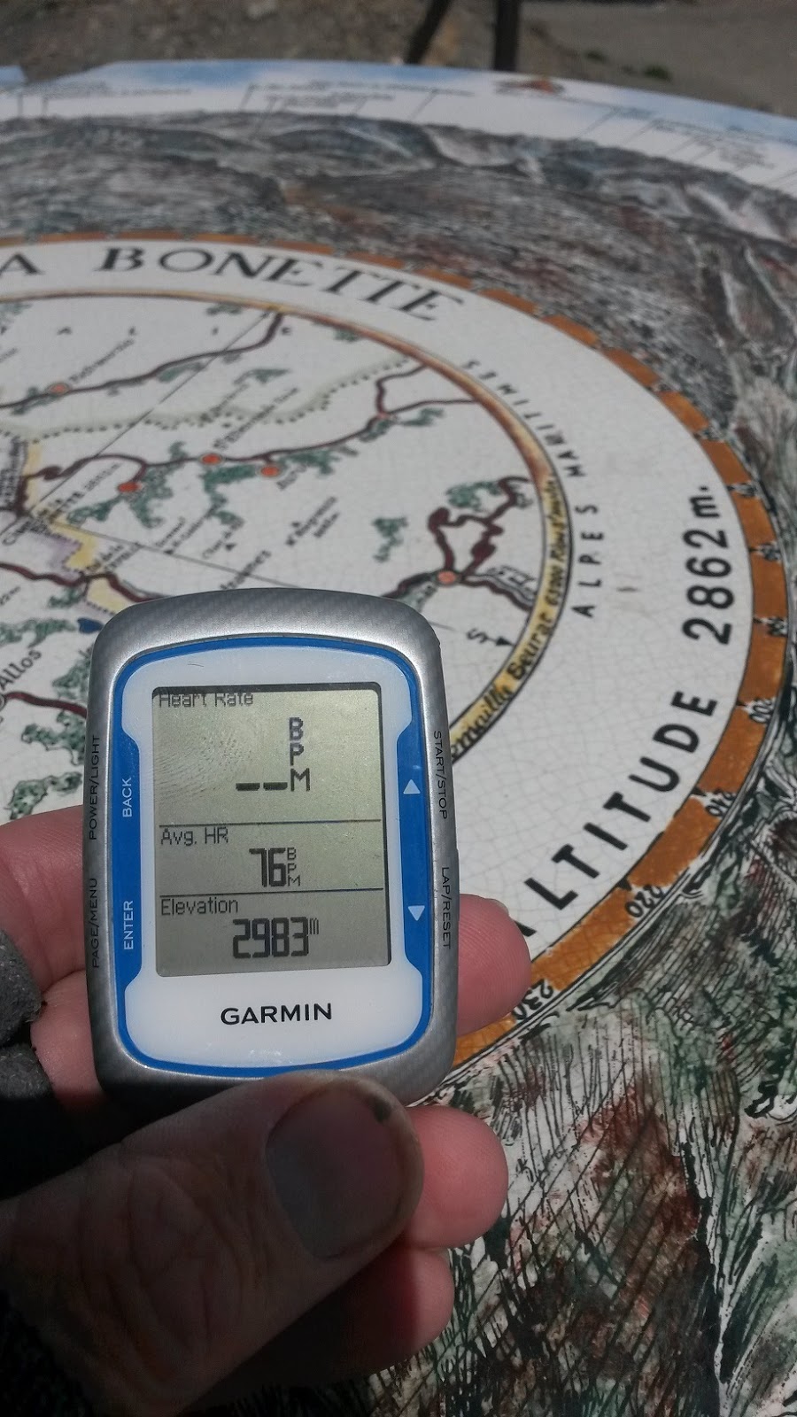 |
| Garmin adds another 121m elevation |
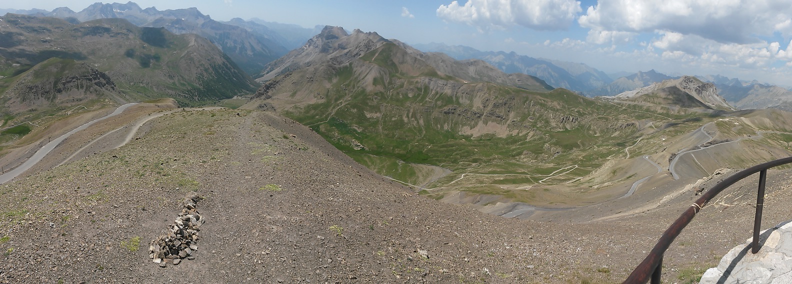 |
| Alpes panorama at Cime de la Bonette |
 |
| Cime de la Bonette |
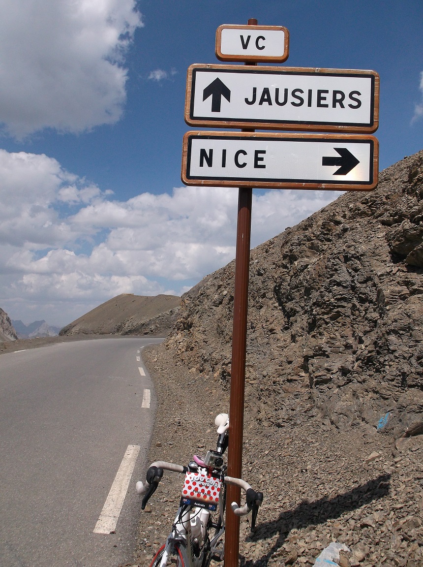 |
| Col de la Bonette |
 |
| Ype waits for riders on Col de la Bonette |
 |
| Aidan at Col de la Bonette |
 |
| Aidan |
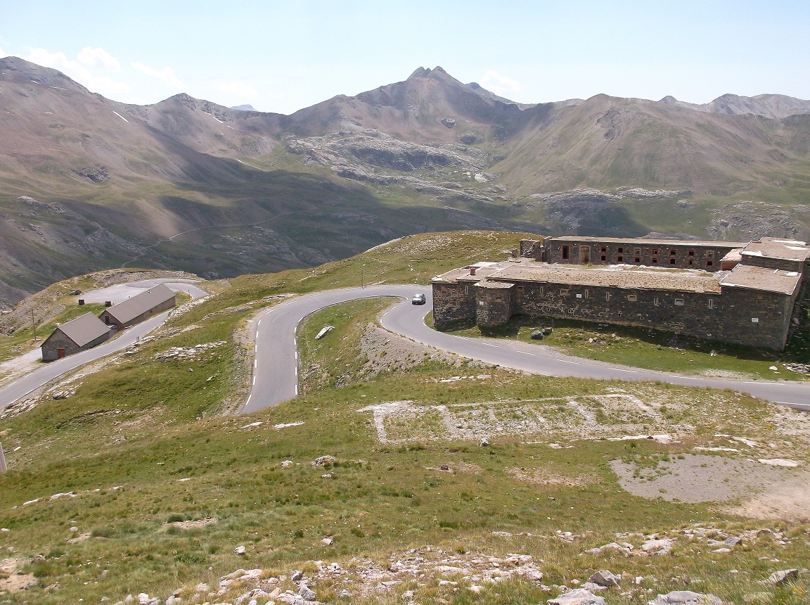 |
| Ouvrage Restefond |
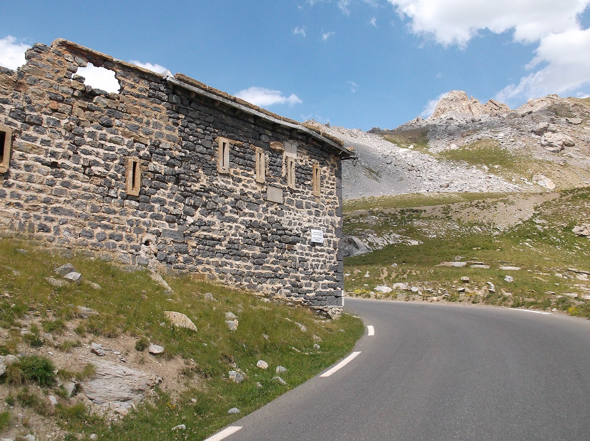 |
| Ouvrage Restefond |
 |
| Jausiers |
 |
| campsite Jausiers |
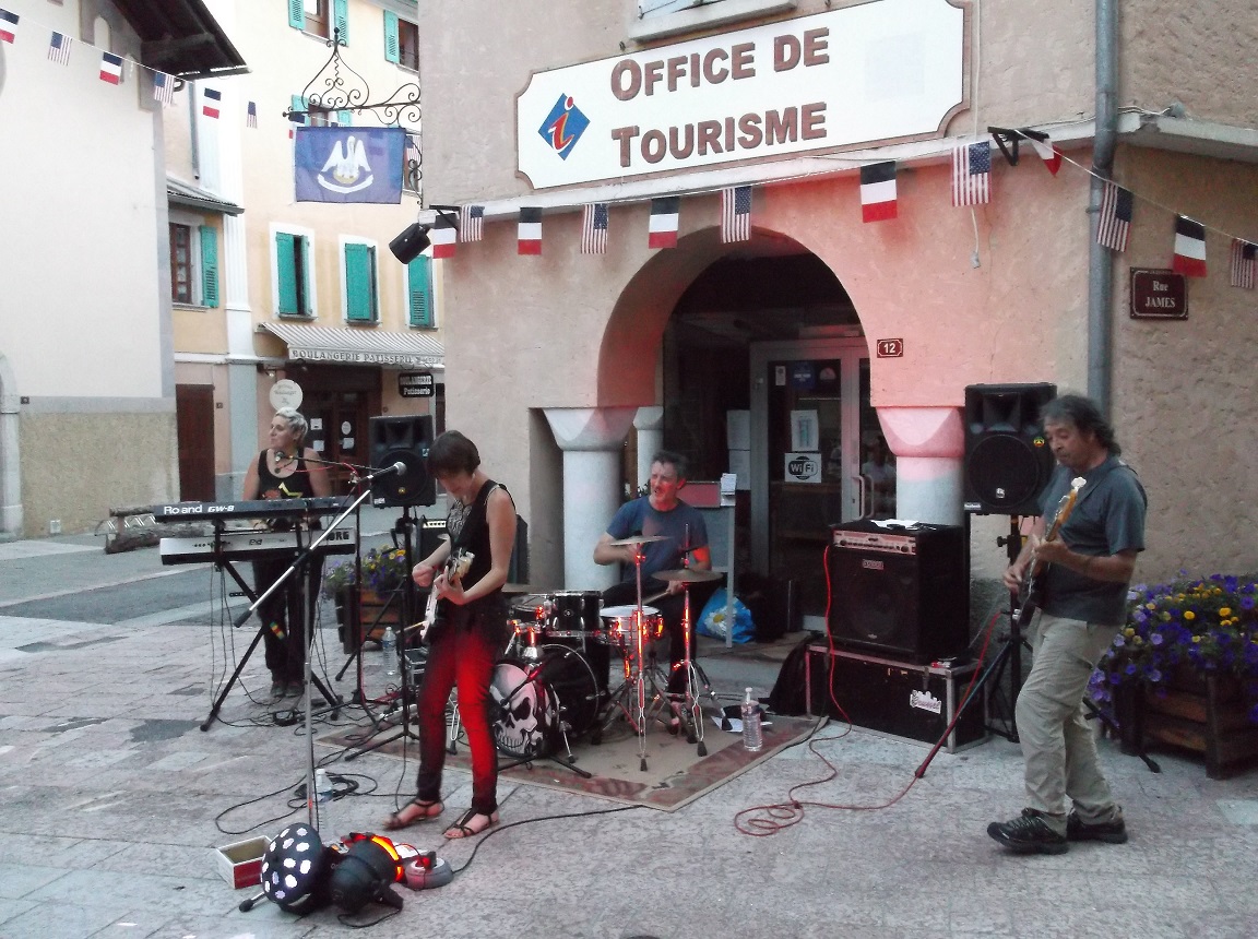 |
| concert outside l'Office de Tourisme Jausiers |
No comments:
Post a Comment